PROVISIONAL DATA SUBJECT TO REVISION
Click to hidestation-specific text
Funding for this site is provided by:
 Site Information
LOCATION.--Lat 42°48'00.1", long
74°15'46.0" referenced to North American Datum of
1983, Schenectady County, NY, Hydrologic Unit 02020005, on
right bank 0.4 mi south of Burtonsville, 3.3 mi north of
Esperance, and about 15 mi upstream from mouth.
DRAINAGE AREA.--886 mi².
PERIOD OF RECORD.--October 1939 to current year.
REVISIONS HISTORY.--WDR NY-82-1: 1981(average discharge). WDR NY-90-1: Drainage area.
GAGE.--Water-stage recorder and crest-stage gage. Datum of gage is 507.98 ft above NGVD of 1929 and 507.44 ft above NAVD of 1988.
REMARKS.--Flow regulated to some extent by Blenheim-Gilboa Pumped Storage Project about 37 mi upstream. Entire flow, runoff from 315 mi², except for periods of spill, diverted from Schoharie Reservoir through Shandaken Tunnel into Esopus Creek upstream from Ashokan Reservoir for water supply of City of New York. For days of reservoir outflow greater than 10 ft³/s, see station 01350101.
Water Year 2014: Records fair except those for estimated daily discharges, which are poor. Water Year 2015: Records good except those for estimated daily discharges, which are poor. Water Years 2016-23: Records good except those for estimated daily discharges, which are fair.
EXTREMES FOR PERIOD OF RECORD.--Maximum discharge, 128,000 ft³/s, Aug. 29, 2011, gage height, 17.46 ft, from floodmark in gage house, from rating curve extended above 75,000 ft³/s on basis of runoff comparison of peak flows from contracted-opening and flow-over-road measurement and slope-area measurement at site 3.3 mi upstream; minimum discharge, 2.4 ft³/s, Sept. 24, 25, 1964, gage height, 0.30 ft.
EXTREMES OUTSIDE PERIOD OF RECORD.--Floods of March 1936 and September 1938 reached stages of 10.5 and 10.2 ft, respectively, from information provided by local resident. However, flood of October 1903 is known to have reached a higher stage than the 1936 or 1938 flood.
PERIOD OF DAILY RECORD1.--SUSPENDED-SEDIMENT DISCHARGE: October 2012 to current year.
REMARKS1.--Turbidity data are collected every 15 minutes using an in-situ turbidity probe located in the same pipe adjacent to the automatic sampler intake tubing. Daily suspended-sediment load and concentration are derived from a regression equation relating turbidity to suspended-sediment concentration.
EXTREMES FOR PERIOD OF DAILY RECORD1.--SUSPENDED-SEDIMENT CONCENTRATION: Maximum daily mean, about 1,460 mg/L, June 14, 2013; minimum daily mean, 2 mg/L, Oct. 1, 2, 16, 2014.
SUSPENDED-SEDIMENT DISCHARGE: Maximum daily, about 78,400 tons, June 14, 2013; minimum daily, 0.16 ton, Oct. 1, 2, 2014.
1 Water-Quality Records
 WaterAlert – get an
email or text (SMS) alert based on your chosen threshold.
WaterAlert – get an
email or text (SMS) alert based on your chosen threshold.
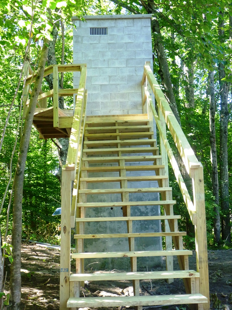 Station image
Summary of all available data for this site
Instantaneous-data availability statement

