PROVISIONAL DATA SUBJECT TO REVISION
Click to hidestation-specific text
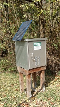
STATION.--01467031 PENNYPACK CREEK AT HORSHAM, PA
LOCATION.--Lat 40`10'38", long 75`07'19", Philadelphia County, Hydrologic Unit 02040202 on right bank immediately upstream of Blair Mill Road, and 550 ft northeast of Horsham Road.
DRAINAGE AREA.--3.48 square miles
PERIOD OF RECORD.--April 2010 to October 2015 (discontinued).
GAGE.--Water-stage recorder. Datum of gage is 225.50 ft above North American Vertical Datum of 1988, from topographic map.
COOPERATION.--Station established and maintained by the US Geological Survey in cooperation with the City of Philadelphia Water Department.
Summary of all available data for this site
Instantaneous-data availability statement