PROVISIONAL DATA SUBJECT TO REVISION
Click to hidestation-specific text
Funding for this site is provided by:
 STATION.--01467200 DELAWARE RIVER AT PENN'S
LANDING, PHILADELPHIA, PA
STATION.--01467200 DELAWARE RIVER AT PENN'S
LANDING, PHILADELPHIA, PALOCATION.--Lat 39`56'47.0", long 75`08'23.1", Philadelphia County, Hydrologic Unit 02040202, on right bank near River Link Ferry, approximately 2,500 ft downstream from Ben Franklin bridge, at Penn's Landing.
DRAINAGE AREA.--7,993 square miles.
PERIOD OF RECORD.--August 1949 to current year. STAGE: January 2020 to current year. VELOCITY: April 2020 to current year. SPECIFIC CONDUCTANCE: November 1963 to current year. pH: October 1967 to current year. WATER TEMPERATURE: November 1960 to current year. DISSOLVED OXYGEN: October 1961 to current year. CHLOROPHYLLS: January 2017 to current year. FDOM: July 2020 to current year. NITRATE: July 2020 to current year. TURBIDITY: July 2020 to current year. Prior to May 2021, published as "Delaware River at Ben Franklin Bridge, at Philadelphia, PA".
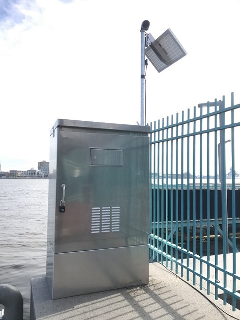
GAGE.--Water-stage recorder, Velocity Meter, and Water-quality monitors interfaced with a data collection platform. Datum of gage is 0.00 ft above North American Vertical Datum of 1988 (NAVD88) from GNSS survey.
COOPERATION.--Funding for the operation of this station is provided by the Delaware River Basin Commission, City of Philadelphia, Water Department and the U.S. Geological Survey.
REMARKS.--Prior to January 2020, located at end of Pier 12 about 150 ft upstream of Ben Franklin Bridge. Prior to July 1988, located on edge of pier 11 about 300 ft downstream of pier 12. Further information on this station is given in U.S. Geological Survey Water-Supply Paper 1809-0. Other interruptions in the record were due to malfunctions of the pump or recording instrument.
Summary of all available data for this site
Instantaneous-data availability statement
![Graph of Temperature, water, degrees Celsius, [ISM barge]](https://nadww02.cr.usgs.gov/nwisweb/data/img/USGS.01467200.271318.00010..20240413.20240420..0..gif)

![Graph of Gage height, feet, [ADVM Depth]](https://nadww02.cr.usgs.gov/nwisweb/data/img/USGS.01467200.259416.00065..20240413.20240420..0..gif)
![Graph of Gage height, feet, [NAVD88]](https://nadww02.cr.usgs.gov/nwisweb/data/img/USGS.01467200.259402.00065..20240413.20240420..0..gif)