USGS 09118450 COCHETOPA CREEK BELOW ROCK CREEK NEAR PARLIN, CO

PROVISIONAL DATA SUBJECT TO REVISION

Click to hidestation-specific text
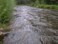
Click for larger image

One or more sensors at this site are operated seasonally.

Station operated by the U.S. Geological Survey in cooperation with Upper Gunnison River Water Conservancy District.

Current shift adjusted rating table.
What is a shift adjusted stage-discharge rating table?

This station managed by the Grand Junction Field Office.

Available Parameters Available Period
  
2019-04-01  2024-10-01
1986-10-01  2024-11-24
2020-10-05  2024-11-24


 (7)
 

  -- or --


Summary of all available data for this site
Instantaneous-data availability statement
*** There are no data available on the Waterdata system for the time period specified,
    although data may be available in the files of the local USGS office operating the station.