PROVISIONAL DATA SUBJECT TO REVISION
Click to hidestation-specific text
 STATION.--01479820 RED CLAY CREEK NEAR KENNETT
SQUARE, PA
STATION.--01479820 RED CLAY CREEK NEAR KENNETT
SQUARE, PALOCATION.--Lat 39`49'00", long 75`41'31", Chester County, Hydrologic Unit 02040205, on left bank along SR 82 (Creek Road), and 3.0 mi south of the intersection of SR 82 and U.S. Highway 1 at Kennett Square.
DRAINAGE AREA.--28.3 square miles.
PERIOD OF RECORD.--January 1988 to current year.
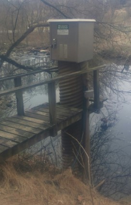
GAGE.--Water-stage recorder, crest-stage gage, and water-quality monitor. Elevation of gage is 196.02 ft above National Geodetic Vertical Datum of 1929, from survey.
GAGE HEIGHTS OF IMPORTANCE.-
COOPERATION.--Station established and maintained by the U.S. Geological Survey. Funding for the operation of this station is provided by the Pennsylvania Department of Environmental Protection, Delaware Geological Survey, and the U.S. Geological Survey.
GAGE HEIGHTS OF IMPORTANCE.-
Supplied by NWS: Action stage-6.5 ft.
Summary of all available data for this site
Instantaneous-data availability statement
