Warning: Javascript must be enabled to use all the features on this page!


Page Loading - Please Wait...

* We've detected you're using a mobile device. Find our Next Generation Station Page here.
Click to hideNews Bulletins
Click to hide state-specific text


USGS 02328522 OCHLOCKONEE RIVER NR CONCORD, FLA.

PROVISIONAL DATA SUBJECT TO REVISION

Click to hidestation-specific text

This gage is monitored in cooperation with the Florida Department of Environmental Protection.

Link to the Florida Department of Environmental Protection.

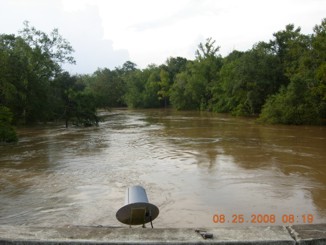
High water looking downstream-August 25, 2008. Link to the Department of Environmental Protection.

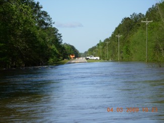
High water-April 9, 2009. Link to the Department of Environmental Protection.

Available Parameters Period of Record
  
1998-10-01  2024-04-22
1999-04-17  2024-04-22


 (365)
 

  -- or --


Summary of all available data for this site
Instantaneous-data availability statement


Gage height, feet


Graph of DAILY Gage height, feet

Add up to 2 more sites and replot for "Gage height, feet"

?


Create presentation-quality graph.