PROVISIONAL DATA SUBJECT TO REVISION
Click to hidestation-specific text
 LOCATION.--Lat
38°50'13.3", long 76°16'50.0", Talbot County, MD,
Hydrologic Unit 02060002, on southeast corner of County-owned
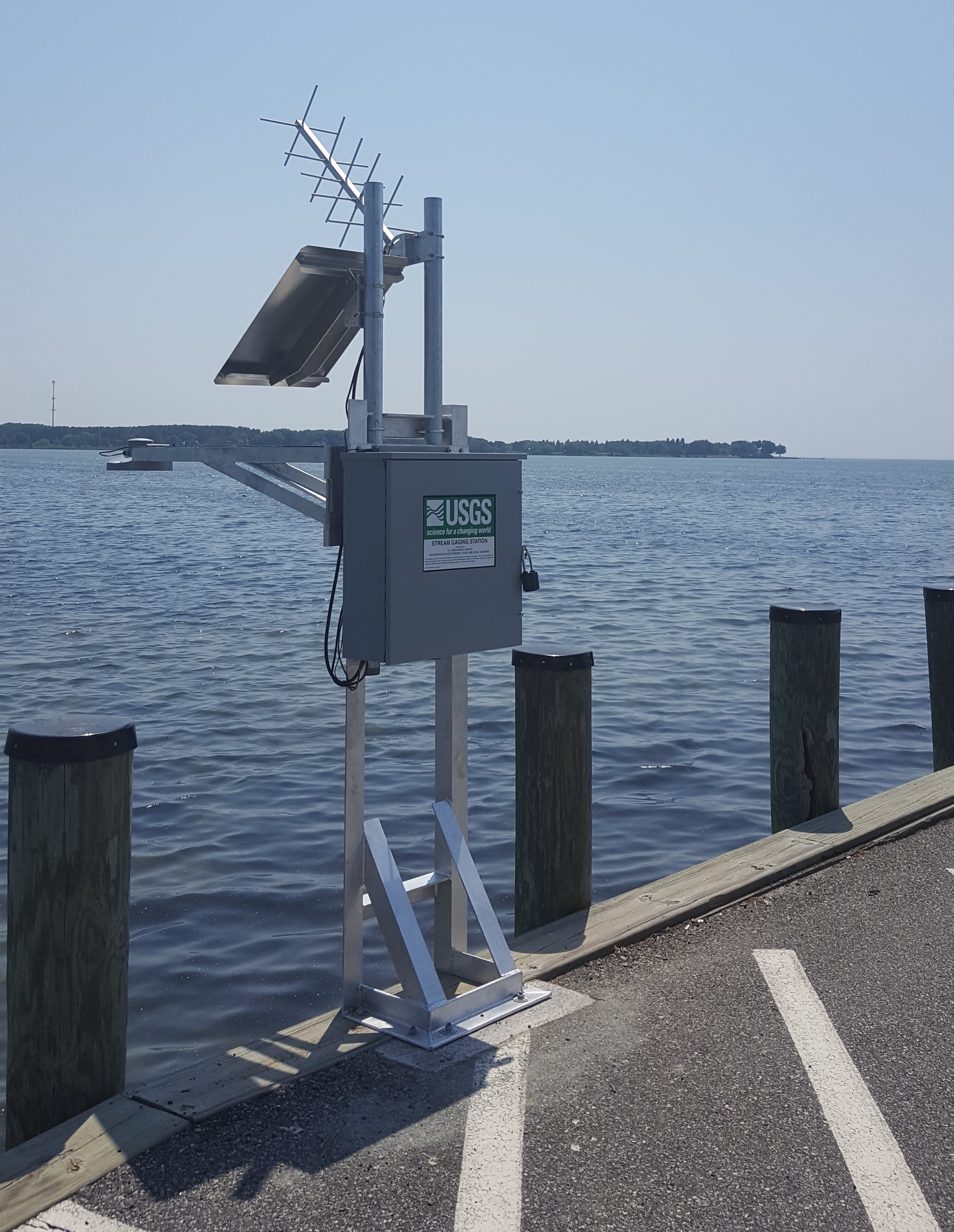
LOCATION.--Lat
38°50'13.3", long 76°16'50.0", Talbot County, MD,
Hydrologic Unit 02060002, on southeast corner of County-ownedboat launch facility at end of Claiborne Landing Road, at Claiborne.
DRAINAGE AREA.--Not determined.
PERIOD OF RECORD.--July 2018 to current year.
GAGE.--Water-stage recorder. Datum of gage is 0.00 ft above North American Vertical Datum of 1988.
REMARKS.--This is a tidal station. Discharge is not determined at this location. U.S. Geological Survey satellite data-collection
platform at station.
EXTREMES FOR PERIOD OF RECORD.--Maximum elevation, 4.10 ft, Oct. 29, 2021; minimum elevation, unknown.
COOPERATION.--Funding for the operation of this station is provided by Talbot County.
Summary of all available data for this site
Instantaneous-data availability statement
