USGS 01643395 SOPER BRANCH AT HYATTSTOWN, MD

PROVISIONAL DATA SUBJECT TO REVISION

Click to hidestation-specific text

Picture of gage

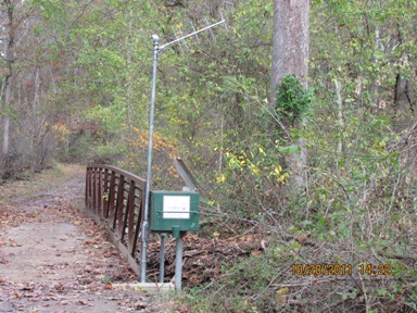
LOCATION.--Lat 39°16'31.1", long 77°18'13.2", Montgomery County, MD, Hydrologic Unit 02070009, on 
   left bank, 0.1 mi upstream of Little Bennett Creek, 0.3 mi upstream of Dark Branch, 0.95 mi 
   south of Frederick County, MD, and within Little Bennett Regional Park.
DRAINAGE AREA.--1.17 mi2.
PERIOD OF RECORD.--February 2004 to current year.
GAGE.--Water-stage recorder and crest-stage gage. Datum of gage is 379.17 ft above North American
   Vertical Datum of 1988.
REMARKS.--U.S. Geological Survey satellite data-collection platform at station.
EXTREMES FOR PERIOD OF RECORD.--Maximum discharge, 695 ft³/s, Sept. 8, 2011, gage height, 5.25 ft;
   minimum discharge, 0.08 ft³/s, Oct. 3, 2007.
COOPERATION.--Funding for the operation of this station is provided by the Montgomery County
   Department of Environmental Protection.
Boating safety tips
This station managed by the MD-DE-DC Water Science Center Frostburg office.

Available Parameters Available Period
  
2004-01-27  2024-03-28
2007-10-01  2024-03-28


 (7)
 

  -- or --


Summary of all available data for this site
Instantaneous-data availability statement


Discharge, cubic feet per second

Most recent instantaneous value: 1.54 03-28-2024   05:55 EDT
Graph of  Discharge, cubic feet per second

Add up to 2 more sites and replot for "Discharge, cubic feet per second"

?


Create presentation-quality / stand-alone graph.   Subscribe to WaterAlert      

See this graph on the Monitoring Location Pages


Daily discharge, cubic feet per second -- statistics for Mar 28 based on 20 water years of record more
Min
(2008)
25th
percen-
tile
Most Recent
Instantaneous
Value Mar 28
Median Mean 75th
percen-
tile
Max
(2005)
0.81 0.94 1.54 2.1 3.1 3.2 17.5


Gage height, feet

Most recent instantaneous value: 0.51 03-28-2024   05:55 EDT
Graph of  Gage height, feet

Add up to 2 more sites and replot for "Gage height, feet"

?


Create presentation-quality / stand-alone graph.   Subscribe to WaterAlert      

See this graph on the Monitoring Location Pages