PROVISIONAL DATA SUBJECT TO REVISION
Click to hidestation-specific text
 LOCATION.--Lat 38°37'46", long
76°48'29", referenced to North American Datum of 1927, Charles
County, MD, Hydrologic Unit 02070011, Cedarville State Forest, near
Forest Rd.
LOCATION.--Lat 38°37'46", long
76°48'29", referenced to North American Datum of 1927, Charles
County, MD, Hydrologic Unit 02070011, Cedarville State Forest, near
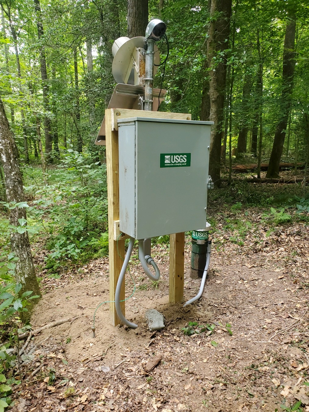
Forest Rd.AQUIFER.--Calvert Formation. Aquifer code: 122CLVR.
WELL CHARACTERISTICS.--Drilled, observation, water-table well, depth 24.5 ft; casing diameter 4 in., top of first opening 13.5 ft, bottom of last opening 18.5 ft.
DATUM.--Land surface datum is 149.69 ft above National Geodetic Vertical Datum of 1929. Measuring Point: Top recorder shelter platform, 2.07 ft above land surface.
REMARKS.--Maryland Groundwater-Level Monitoring Network and Climate Response Network observation well. U.S. Geological Survey satellite data-collection platform at well.
PERIOD OF RECORD.--August 1983 to current year.
COOPERATION.--Funding for the operation of this station is provided by the U. S. Geological Survey.
This gage is monitored as part of the National Groundwater and Streamflow Information Program.
Summary of all available data for this site
Instantaneous-data availability statement
