LOCATION.--Lat 41°08'52.8", long
73°55'39.7" referenced to North American Datum of
1983, Rockland County, NY, Hydrologic Unit 02030103, at
Rockland Lake.
WELL CHARACTERISTICS.--Depth 153 ft. Upper casing
diameter 6 in; top of first opening 22 ft, bottom of last
opening 118 ft. Cased to 20.4 ft, open hole.
DATUM.--Land-surface datum is 159.06 ft above North
American Vertical Datum of 1988. Measuring point: Top of
casing, 2.31 ft above land-surface datum, Jul. 26, 2016 to
present; Top of shelter shelf, 2.44 ft above land-surface
datum, Jul. 26, 2016 to May. 12, 2021; Top of shelter shelf,
2.43 ft above land-surface datum, May. 12, 2021 to present.
PERIOD OF RECORD.--October 2005 to current year.
GAGE.--Water-stage recorder--15 minute; periodic manual
measurements by USGS personnel.
REMARKS.--Water level is affected by nearby seasonal
pumping. Satellite water-level telemeter at station.
EXTREMES FOR PERIOD OF RECORD.--Highest water level,
3.92 ft below land-surface datum, Mar. 24, 2011; lowest water
level, 10.85 ft below land-surface datum, Oct. 7, 2005.

 Site Information
 WaterAlert – get an
email or text (SMS) alert based on your chosen threshold.
WaterAlert – get an
email or text (SMS) alert based on your chosen threshold.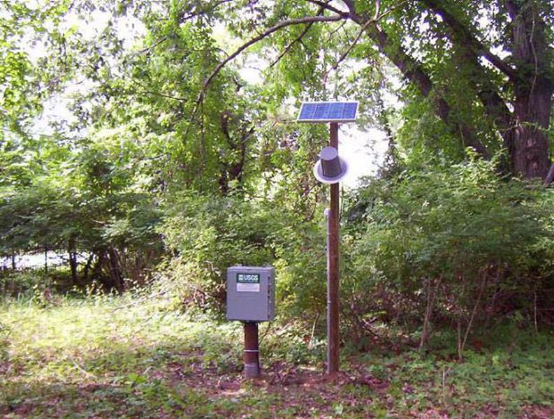 Station image