LOCATION.--Lat 42°11'06.2", long
74°16'37.6" referenced to North American Datum of
1983, Greene County, NY, Hydrologic Unit 02020005, on left bank
6 ft upstream from bridge on Spruceton Road, 1.6 mi east of
Spruceton, and 6.4 mi east of West Kill.
DRAINAGE AREA.--4.97 mi².
PERIOD OF RECORD.--October 1997 to current year.
GAGE.--Water-stage recorder and crest-stage gage. Datum
of gage is 2,038.89 ft above NAVD of 1988.
REMARKS.--Water Years 2014-20: Records good. Water Years
2021-24: Records fair.
EXTREMES FOR PERIOD OF RECORD.--Maximum discharge, 4,320
ft³/s, Aug. 28, 2011, gage height, 5.23 ft, from rating curve
extended above 300 ft³/s; minimum discharge, 0.42 ft³/s, Aug.
29, 30, 2022, gage height, 0.07 ft; minimum gage height, 0.02
ft, Feb. 2, 3, 4, 2021.
 Site Information
 WaterAlert – get an
email or text (SMS) alert based on your chosen threshold.
WaterAlert – get an
email or text (SMS) alert based on your chosen threshold.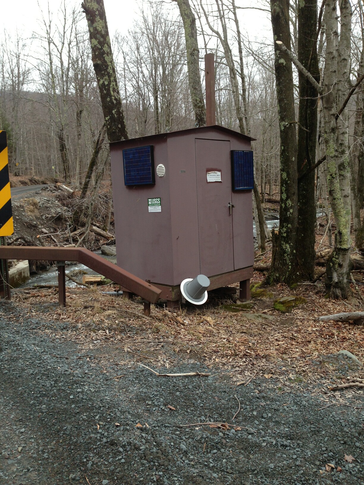 Station image