LOCATION.--Lat 42°35'58.2", long
74°20'10.9" referenced to North American Datum of
1983, Schoharie County, NY, Hydrologic Unit 020200050405, on
right bank on downstream side of bridge on State Highways 30
and 145 in Middleburgh, 0.6 mi downstream from Little Schoharie
Creek, and about 36 mi upstream from mouth.
DRAINAGE AREA.--
PERIOD OF RECORD.--July 1927 to September 1939, December
2017 to current year. August 1906 to June 1918 in reports of
New York State engineer and surveyor. Records for July 1918 to
June 1927 also collected by State engineer and surveyor but not
published.
REVISIONS HISTORY.--Discharge for Dec. 25, 2020, the
maximum discharge for water year 2021, and the reported extreme
maximum discharge for period of record was revised on Feb. 15,
2023, based on changes to the stage-discharge
rating. Datum of gage was revised on July 10, 2025, from
612.48 ft to 612.77 ft above NAVD of 1988, based on a more
accurate geodetic survey.
GAGE.--Water-stage recorder and crest-stage gage.
Datum of gage is 612.77 ft above NAVD of 1988. From July 1927
to September 1939, at site 150 ft downstream at different
datum.
REMARKS.--Flow regulated to some extent by
Blenheim-Gilboa Pumped Storage Project about 19 mi upstream.
Entire flow, runoff from 315 mi², except for periods of spill,
diverted from Schoharie Reservoir through Shandaken Tunnel into
Esopus Creek upstream from Ashokan Reservoir for water supply
of City of New York. For days of reservoir outflow greater than
10 ft³/s, see station 01350101. Water Years 2018-24: Records
fair except those for estimated daily discharges and those
above 30,000 ft³/s, which are poor.
EXTREMES FOR PERIOD OF RECORD.--Maximum discharge,
47,800 ft³/s, Mar. 18, 1936, gage height, 16.80 ft, site and
datum then in use, from rating curve extended above 14,000
ft³/s on basis of slope-area measurement of peak flow at
Central Bridge, 10 mi downstream, adjusted for flow from
intervening area; minimum discharge, 2.0 ft³/s, Sept. 1, 1939,
gage height, 0.50 ft, site and datum then in use.
EXTREMES OUTSIDE PERIOD OF RECORD.--Maximum discharge,
about 130,000 ft³/s, Aug. 28, 2011, gage height, 27.31 ft,
from floodmarks, on basis of runoff comparisons with nearby
stations. Flood of Jan. 19-20, 1996, reached a stage of 23.01
ft, from floodmark. Flood of Apr. 4-5, 1987, reached a stage of
22.52 ft, from floodmark.
 Site Information
 WaterAlert – get an
email or text (SMS) alert based on your chosen threshold.
WaterAlert – get an
email or text (SMS) alert based on your chosen threshold.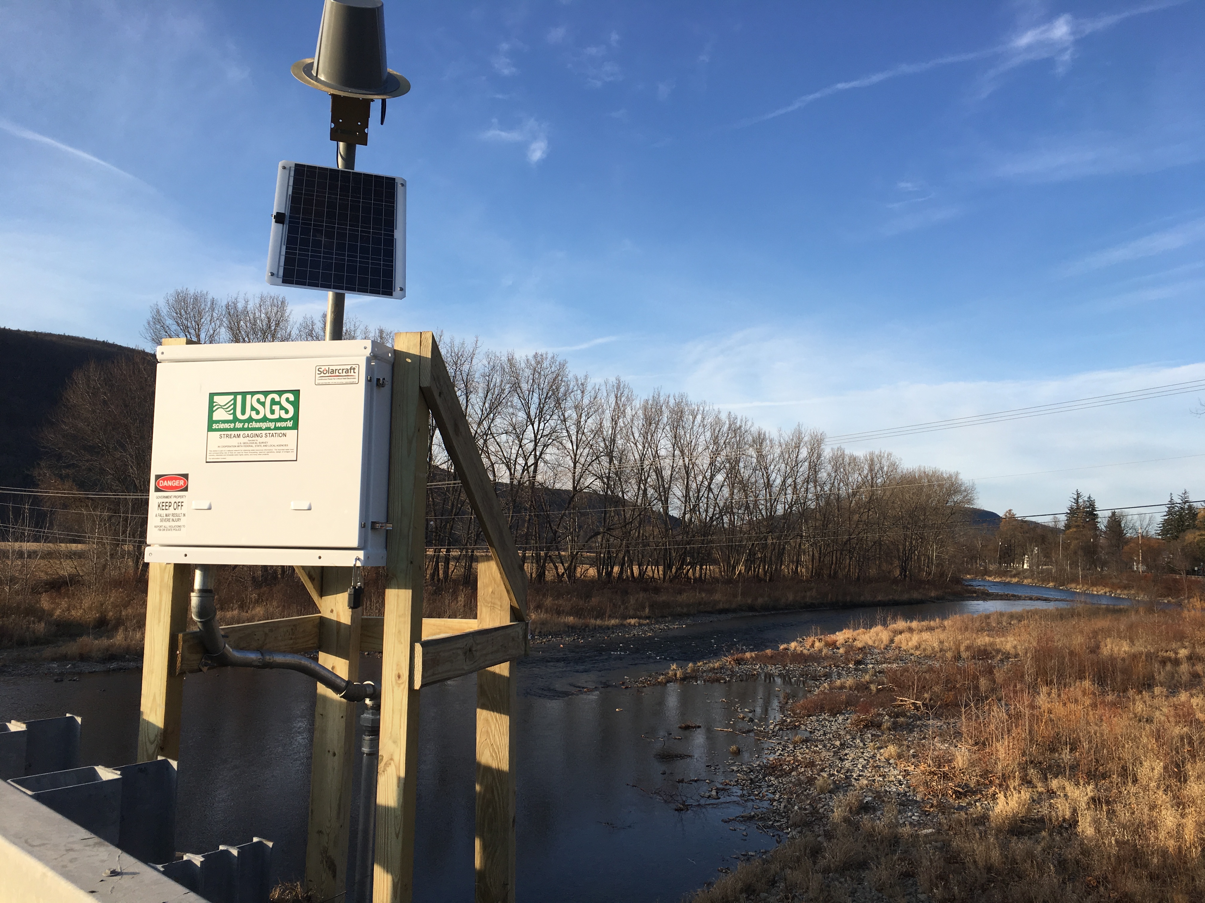 Station image