This site is affected by storm tides which increase stream water
levels at the gage. Stage values reported are believed to be reasonably
accurate, but the higher stage readings may produce estimates of
discharge that are higher than actual.
LOCATION.--Lat 38°31'17.2", long 75°08'00.2", Sussex County, DE, Hydrologic Unit 02040303, on left bank,
20 feet downstream from culverts on county road No. 368, 2.1 mi southwest of Millville, and 1.6 mi
upstream from mouth.
DRAINAGE AREA.--2.24 mi2.
PERIOD OF RECORD.--August 1998 to current year.
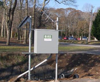
GAGE.--Water-stage recorder. Datum of gage is 1.48 ft above North American Vertical Datum of 1988.
REMARKS.--Flow occasionaly affected by irrigation or releases from sand pits located upstream from
station. U.S. Geological Survey satellite data-collection platform at station.
EXTREMES FOR PERIOD OF RECORD.--Maximum discharge, 322 ft3/s, July 12, 2013, gage height, 7.82 ft;
minimum discharge, 0.0 ft3/s, no flow, July 8-13, 15-18, Aug. 14, 22, 2002, Oct. 8,9, 2007, Aug. 27,
31, Sept. 1-5, 2008.
COOPERATION.--Funding for this station is provided by the Delaware Department of Natural Resources
and Enviromental Control through the Delaware Geological Survey.
