Warning: Javascript must be enabled to use all the features on this page!
Page Loading - Please Wait...
Click to hideNews Bulletins
Explore the NEWUSGS National Water Dashboard interactive map to access real-time water data from over 13,500 stations nationwide.
This page is undergoing modernization and will be decommissioned in the future.
Daily data are now available in WDFN.
Try it out and tell us what you think at wdfn@usgs.gov
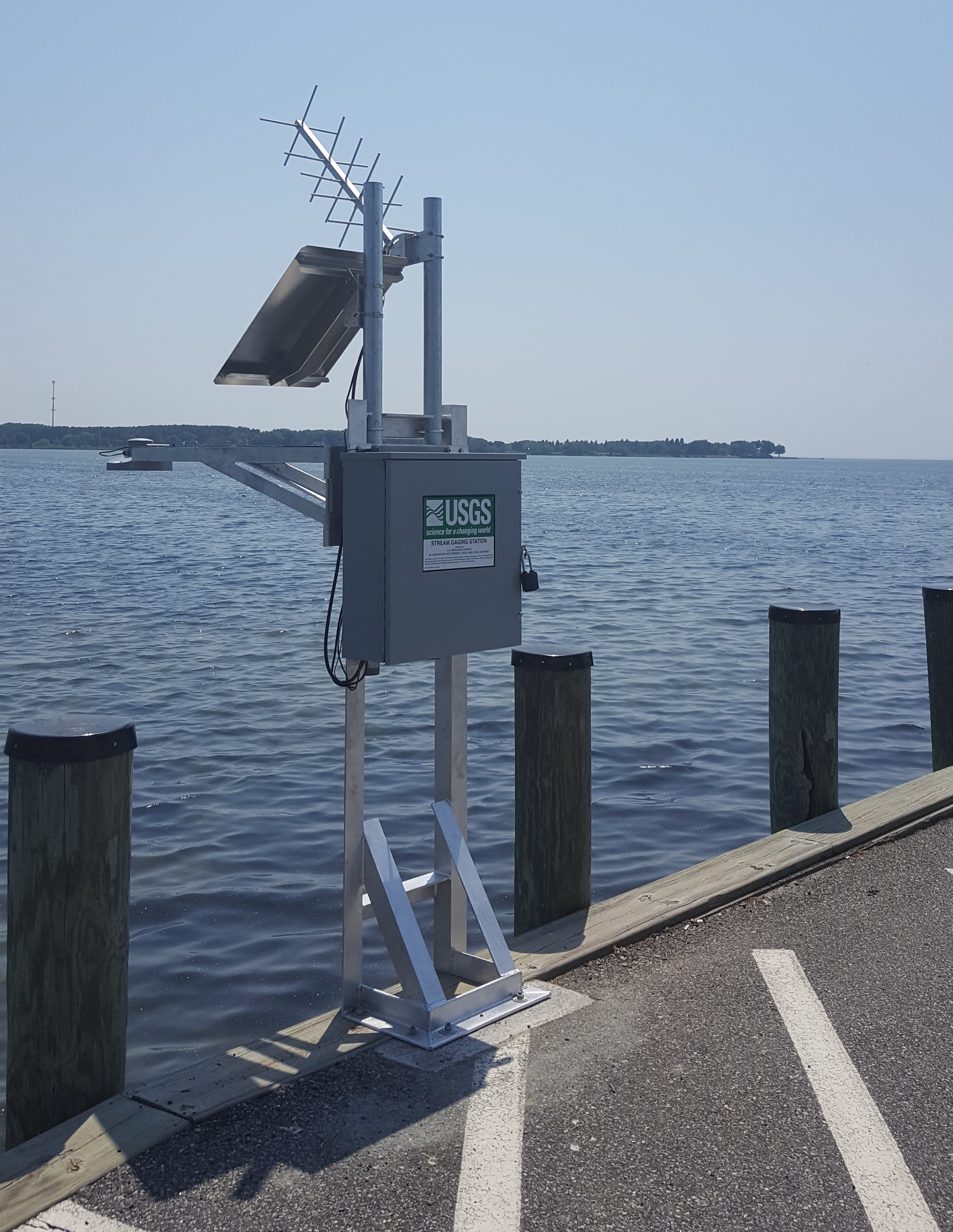
LOCATION.--Lat
38°50'13.3", long 76°16'50.0", Talbot County, MD,
Hydrologic Unit 02060002, on southeast corner of County-owned
boat launch facility at end of Claiborne Landing Road, at
Claiborne. DRAINAGE AREA.--Not determined. PERIOD OF RECORD.--July 2018 to current year. GAGE.--Water-stage recorder. Datum of gage is 0.00 ft above
North American Vertical Datum of 1988. REMARKS.--This is a tidal station. Discharge is not determined
at this location. U.S. Geological Survey satellite
data-collection
platform at station. EXTREMES FOR PERIOD OF RECORD.--Maximum elevation, 4.10 ft, Oct.
29, 2021; minimum elevation, unknown. COOPERATION.--Funding for the operation of this station is
provided by Talbot County.
This station managed by the MD-DE-DC Water Science Center Dover office.