Funding for this site is provided by:
 STATION.
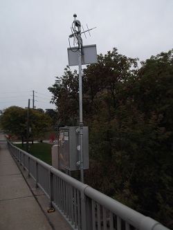
--01536500 SUSQUEHANNA RIVER AT
WILKES-BARRE, PA
LOCATION.--Lat 41`15'03", long
75`52'52", Luzerne County, Hydrologic Unit 02050107, on left
bank at downstream side of North Street bridge in Wilkes-Barre, and 1.8
mi upstream from Toby Creek.
DRAINAGE AREA.--9,960 square miles.
PERIOD OF RECORD.--April 1899 to current year.
Gage-height records collected at same site since November 1890,
contained in reports of U.S. Weather Bureau.
GAGE.--Water-stage recorder and crest-stage gage.
Datum of gage is 510.86 ft above North American Vertical Datum of 1988.
See WSP 1722 for history of changes prior to Mar. 23, 1949. May 23,
1949 to Sept. 30, 1996, at site 800 ft downstream. From Oct 1, 1996 to
Oct 6, 2011, at site 5 ft downstream. Satellite telemetry at
station.
COOPERATION.--Funding for the operation of this
station is provided by the Pennsylvania Department of Environmental
Protection and the U.S. Geological Survey.
REMARKS-
--Flow slightly regulated by 8 flood-control reservoirs, which have a
combined capacity of 368,800 acre-ft.
GAGE HEIGHTS OF IMPORTANCE-
Supplied by USGS.--Data transmitter operational limit
- 48.1 ft
Supplied by NWS.--Action stage-10 ft; Flood stage-22
ft, Lowlands in Plainsville, Plymouth Flats, West Nanticoke and
Shickshinny flood; Moderate flood stage-28 ft, US Route 11 in Avondale
covered by flood water; Main street in Shickshinny begins to flood;
upstream of North Street bridge including Courthouse in Wilkes-Barre
begins to flood; Major flood stage-30 ft, US Route 11 in West Nanticoke
closed; Canal Street begins to flood.
