LOCATION.--Lat 39°27'16.9", long 76°28'44.0", Baltimore County, MD, Hydrologic Unit 02060003, on right
bank 0.5 mi downstream from bridge on Glen Arm Road, 0.6 mi upstream from State Highway 147
(Harford Road), 0.8 mi east of Glen Arm, and 1.6 mi upstream from mouth.
DRAINAGE AREA.--9.40 mi2.
PERIOD OF RECORD.--October 1975 to current year.
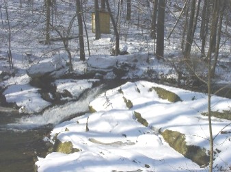
GAGE.--Water-stage recorder and crest-stage gage. Datum of gage is 243.34 ft above North American
Vertical Datum of 1988.
REMARKS.--U.S. Geological Survey satellite data-collection platform at station. Water-quality
records for some prior periods have been collected at this location.
EXTREMES FOR PERIOD OF RECORD.--Maximum discharge, 3,250 ft3/s, Jul 1, 1984, gage height, 6.70 ft;
minimum discharge, 0.26 ft3/s, Feb. 5, 2002 (result of freeze up).
COOPERATION.--Funding for the operation of this station is provided by the Baltimore County Department
of Environmental Protection & Sustainability, and the U.S. Geological Survey.

