Warning: Javascript must be enabled to use all the features on this page!


Page Loading - Please Wait...

Click to hideNews Bulletins

USGS 01651770 HICKEY RUN AT NATIONAL ARBORETUM AT WASHINGTON, DC

PROVISIONAL DATA SUBJECT TO REVISION

Click to hidestation-specific text

Picture of gage


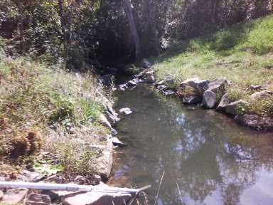
LOCATION.--Lat 38°54'58.0", long 76°58'07.9", Washington, DC, Hydrologic Unit 02070010,
   on left bank 340 ft downstream from New York Ave, 760 ft upstream from Hickey Ln NE bridge. Water
   quality data collected at site 265 ft upstream from present gage location.
DRAINAGE AREA.--1.01 mi2, from automated delineation using 10-meter National Elevation Dataset, 
   digital elevation model data, dated 2006. October 2012 to November 2019, 0.99 mi2, from automated
   delineation using 30-meter National Elevation Dataset, digital elevation model data, dated 2006.
PERIOD OF RECORD.--October 2012 to current year.
REVISIONS HISTORY.--
https://waterdata.usgs.gov/nwis/dv/?site_no=01651770: 2013
https://waterdata.usgs.gov/nwis/uv/?site_no=01651770: 2019
https://waterdata.usgs.gov/nwis/uv/?site_no=01651770: 2020-2021.
The gage height for measurement 7 was revised on March, 23, 2022 due to a revision to the associated gage-height record. GAGE.--Water-stage recorder and crest-stage gage. Datum of gage is 16.28 ft above North American Vertical Datum of 1988. October 2012 to November 2019, at site 265 ft upstream at gage datum 17.28 ft above NAVD88. REMARKS.--U.S. Geological Survey satellite data-collection platform at station (SW). U.S. Geological Survey water-data telemeter at station (QW). EXTREMES FOR PERIOD OF RECORD.--Maximum discharge, 2,490 ft³/s, Aug. 12, 2017, gage height, 10.24 ft; maximum gage height, 10.48 ft, Sept. 10, 2020; minimum discharge, 0.04 ft³/s, Feb. 25, 2013, May 11, 12, 2020. COOPERATION.--Funding for the operation of this station is provided by the United States Environmental Protection Agency, Chesapeake Bay Program Office (USEPA/CBPO) in collaboration with the Washington, DC District Department of the Environment.
This station managed by the MD-DE-DC Water Science Center Baltimore office.

Available Parameters Period of Record
  
2013-01-30  2024-03-27
2012-10-01  2024-03-27
2013-01-30  2024-03-27
2020-01-18  2024-03-27
2013-01-30  2020-04-05


 (365)
 

  -- or --


Summary of all available data for this site
Instantaneous-data availability statement


Temperature, water, degrees Celsius


Graph of DAILY Temperature, water, degrees Celsius

Add up to 2 more sites and replot for "Temperature, water, degrees Celsius"

?


Create presentation-quality graph.  


Discharge, cubic feet per second


Graph of DAILY Discharge, cubic feet per second

Add up to 2 more sites and replot for "Discharge, cubic feet per second"

?


Create presentation-quality graph.  


Specific conductance, water, unfiltered, microsiemens per centimeter at 25 degrees Celsius


Graph of DAILY Specific conductance, water, unfiltered, microsiemens per centimeter at 25 degrees Celsius

Add up to 2 more sites and replot for "Specific conductance, water, unfiltered, microsiemens per centimeter at 25 degrees Celsius"

?


Create presentation-quality graph.  


Turbidity, water, unfiltered, monochrome near infra-red LED light, 780-900 nm, detection angle 90 +-2.5 degrees, formazin nephelometric units (FNU)


Graph of DAILY Turbidity, water, unfiltered, monochrome near infra-red LED light, 780-900 nm, detection angle 90 +-2.5 degrees, formazin nephelometric units (FNU)

Add up to 2 more sites and replot for "Turbidity, water, unfiltered, monochrome near infra-red LED light, 780-900 nm, detection angle 90 +-2.5 degrees, formazin nephelometric units (FNU)"

?


Create presentation-quality graph.