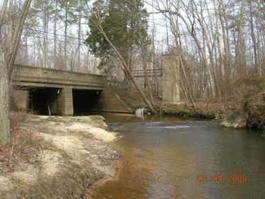
LOCATION.--Lat 38°14'30.3", long 76°30'13.2", St. Mary's County, MD, Hydrologic Unit 02070011,
   on left bank at downstream side of bridge on State Highway 471 in Great Mills, 0.3 mi downstream
   from Western Branch, and 12.0 mi upstream from mouth.
DRAINAGE AREA.--24.0 mi2.
PERIOD OF RECORD.--June 1946 to September 2005, October 2006 to current year.
REVISIONS HISTORY.--WSP 1702: 1946, 1948-49, 1955, 1957-58. WDR MD-DE-83-1: 1981-82(M).
GAGE.--Water-stage recorder, crest-stage gage and concrete control. Datum of gage is 6.86 ft above
   North American Vertical Datum of 1988.
REMARKS.--Occasional regulation by reservoir on Western Branch of St. Marys River, 2.0 mi upstream
   since 1975, total capacity, 3,200 acre-feet. U.S. Geological Survey satellite data-collection platform
   at station. Water-quality records for some prior periods have been collected at this location.
EXTREMES FOR PERIOD OF RECORD.--Maximum discharge, 7,950 ft3/s, Aug. 20, 1969,
   gage height, 13.34 ft; minimum discharge, 0.13 ft3/s, Aug. 10-14, 1999.
COOPERATION.--Funding for the operation of this station is provided by the Maryland Geological
   Survey, and the U.S. Geological Survey.
