LOCATION.--Lat 44°35'55.5", long
74°44'14.0" referenced to North American Datum of
1983, St. Lawrence County, NY, Hydrologic Unit 04290006, on
right bank 25 ft upstream from bridge on Jones Road, 4.1 mi
downstream from Mud Pond Outlet, 4.2 mi southeast of
Parishville, and 4.8 mi upstream from dam.
DRAINAGE AREA.--171 mi².
PERIOD OF RECORD.--October 1958 to September 1968,
annual maximum only--1969-91, June 1991 to current year.
REVISIONS HISTORY.--Datum of gage was revised on Feb. 3.
2025, from 971.64 ft to 969.59 ft above NGVD of 1929 and from
969.05 ft to 969.24 ft above NAVD of 1988, based on an updated
geodetic survey and NCAT conversion.
GAGE.--Water-stage recorder and crest-stage gage. Datum
of gage is 969.59 ft above NGVD of 1929 and 969.24 ft above
NAVD of 1988.
REMARKS.--Water Years 2014-24: Records good except those
for estimated daily discharges, which are poor.
EXTREMES FOR PERIOD OF RECORD.--Maximum discharge, 5,960
ft³/s, Dec. 29, 1984, gage height, 7.37 ft; maximum gage
height, 7.51 ft, Feb. 25, 1985 (ice jam); minimum recorded
discharge, 43 ft³/s, Sept. 4, 2012, gage height, 0.85 ft, but
may have been less during period of estimated record January
and February 1961.
 Site Information
 WaterAlert – get an
email or text (SMS) alert based on your chosen threshold.
WaterAlert – get an
email or text (SMS) alert based on your chosen threshold.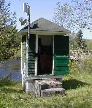 Station image