LOCATION.--Lat 44°14'12.25", long
73°54'49.84" referenced to North American Datum of
1983, Essex County, NY, Hydrologic Unit 04150404, on right bank
100 ft downstream of the culvert at the intersection of State
Highway 73 and Mountain Road, 5.5 mi southeast of Lake
Placid.
DRAINAGE AREA.--0.97 mi².
PERIOD OF RECORD.--November 2019 to December 2022.
GAGE.--Water-stage recorder and crest-stage gage.
Elevation of gage is 2,050 ft above NAVD of 1988, from
topographic map.
REMARKS.--Water Years 2020-22: Records fair except those
for estimated daily discharges, which are poor.
EXTREMES FOR PERIOD OF RECORD.--Maximum discharge, 25.3
ft³/s, Dec. 25, 2020, gage height, 2.13 ft; minimum discharge,
0.13 ft³/s, July 12, 2021, gage height, 0.42 ft; minimum gage
height, 0.32 ft, July 10, 2020.
PERIOD OF DAILY RECORD1.--WATER TEMPERATURE:
November 2019 to January 2023.
SPECIFIC CONDUCTANCE: November 2019 to December
2022.
EXTREMES FOR PERIOD OF DAILY RECORD1.--WATER
TEMPERATURE: Maximum, 15.5 °C, Aug. 24, 2021; minimum, -0.1 °C
on several days during winter periods.
SPECIFIC CONDUCTANCE: Maximum, 268 uS/cm at 25 °C, Dec. 12,
2020; minimum, 22 uS/cm at 25 °C, Mar. 26, 20201
1 Water-Quality Records
 Site Information
 WaterAlert – get an
email or text (SMS) alert based on your chosen threshold.
WaterAlert – get an
email or text (SMS) alert based on your chosen threshold.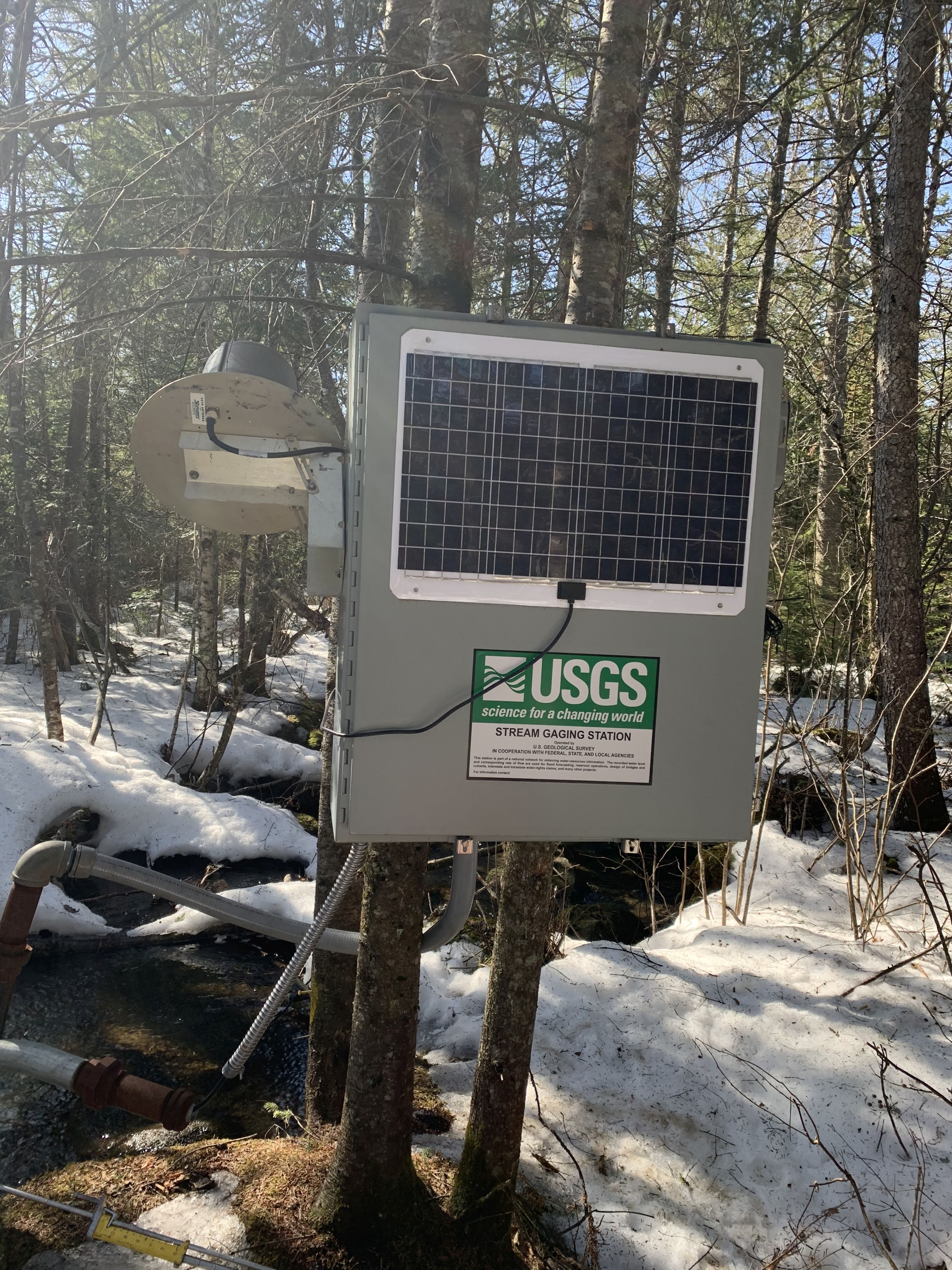 Station image