 |
LOCATION.---Lat 38°38'37.1", long 75°21'34.6" referenced to North American Datum of 1983, Sussex County, DE,
Hydrologic Unit 02040303, at southwest corner of U.S. Route 113 (Dupont Boulevard) and Breasure Road.
WELL CHARACTERISTICS.--Depth 49 ft. Upper casing diameter 4 in; top of first opening 46 ft, bottom of last opening 49 ft.
Drilled, observation, watertable well.
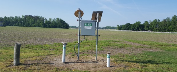
GAGE.--Water-level measurements by U.S. Geological Survey personnel. Equipped with digital water-level recorder, -15- minute
recording interval, May 2016 to current year. Equipped with graphic water-level recorder from January 1970 to January 1982.
U.S. Geological Survey satellite data-collection platform at well.
DATUM.---Land-surface datum is 50 ft above National Geodetic Vertical Datum of 1929. Measuring point: Top of casing, 3.00 ft
above land-surface datum, Jan. 27, 1970, to present.
PERIOD OF RECORD.--January 1970 to April 1993, 1998 to current year.
REMARKS.--Delaware Groundwater-Level Monitoring Network and Climate Response Network observation well.
COOPERATION.--Funding for the operation of this station is provided by the U.S. Geological Survey.
