 LOCATION.
--Lat 39°29'33.4", long
76°41'04.7", Hydrologic Unit 02060003, at Oregon Ridge
Park.
WELL CHARACTERISTICS.--Depth 300 ft. Upper casing diameter 6 in;
top of first opening 88 ft, bottom of last opening 300 ft. Drilled,
observation, water-table well, open hole below 88 ft.
DATUM.--Land-surface datum is 394.6 ft above North American
Vertical Datum of 1988. Measuring point: Top of recorder shelter
platform, 1.62 ft above land-surface datum, Nov. 3, 1998, to
present.
PERIOD OF RECORD.--September 1988 to current year.
EXTREMES FOR PERIOD OF RECORD.--Highest water level measured,
33.46 ft below land surface, April 9, 1997; lowest measured, 45.88 ft
below land surface, November 10, 2002 (recorder).
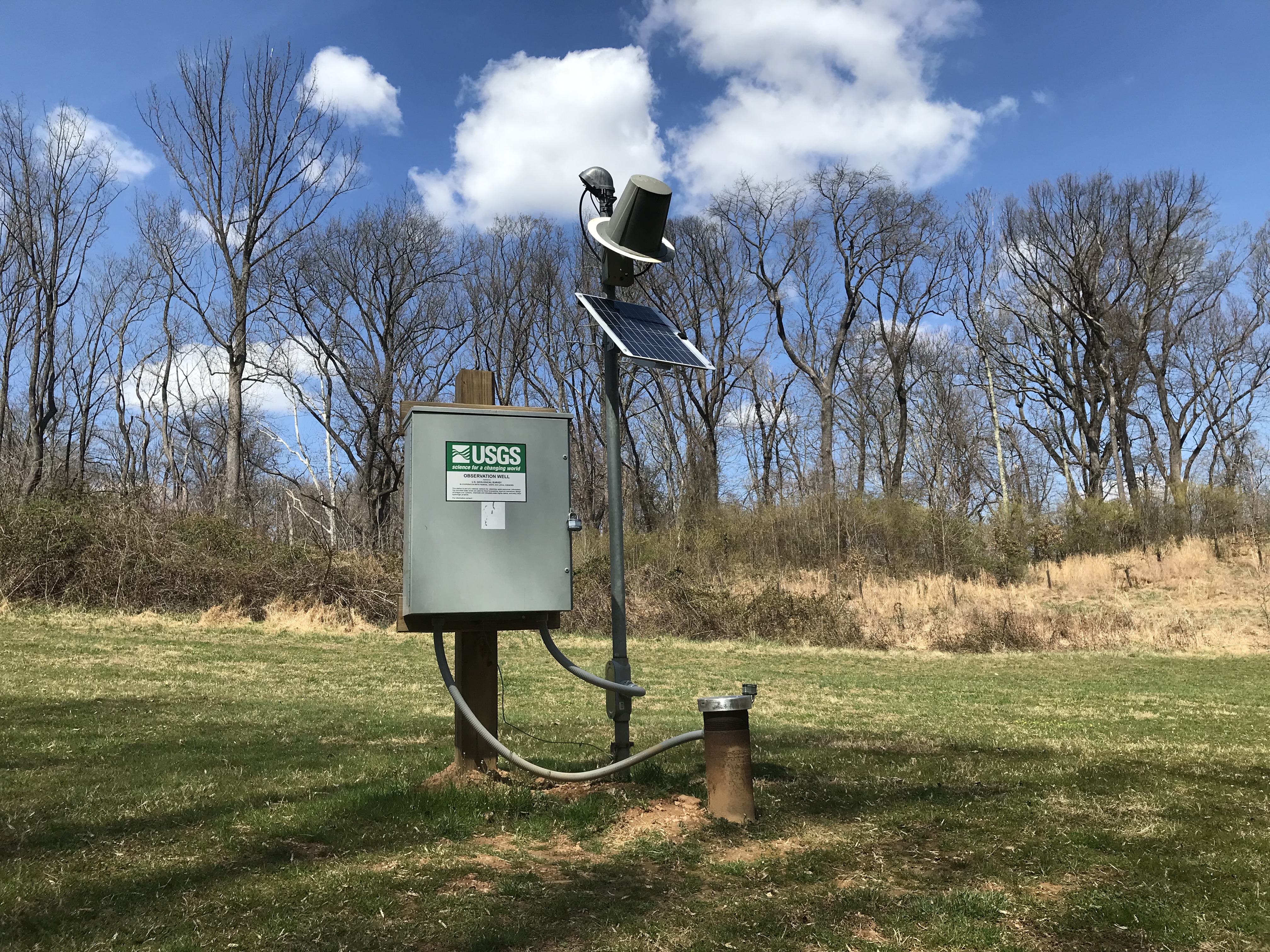
REMARKS.--Maryland Groundwater-Level Monitoring Network and
Climate Response Network observation well. U.S. Geological Survey
satellite data-collection platform at well. Monthly measurements with
electric tape by U.S. Geological Survey personnel.
COOPERATION.--Funding for the operation of this station is
provided by the U. S. Geological Survey.
