PROVISIONAL DATA SUBJECT TO REVISION
Click to hidestation-specific text
 LOCATION.--Lat 39°33'51.6", long
76°14'14.5", Harford County, MD, Hydrologic Unit 02050306,
north of Churchville Recreation Complex,
LOCATION.--Lat 39°33'51.6", long
76°14'14.5", Harford County, MD, Hydrologic Unit 02050306,
north of Churchville Recreation Complex,Level Rd, and 0.7 mi southwest of Churchville.
PERIOD OF RECORD.--November 2019 to current year.
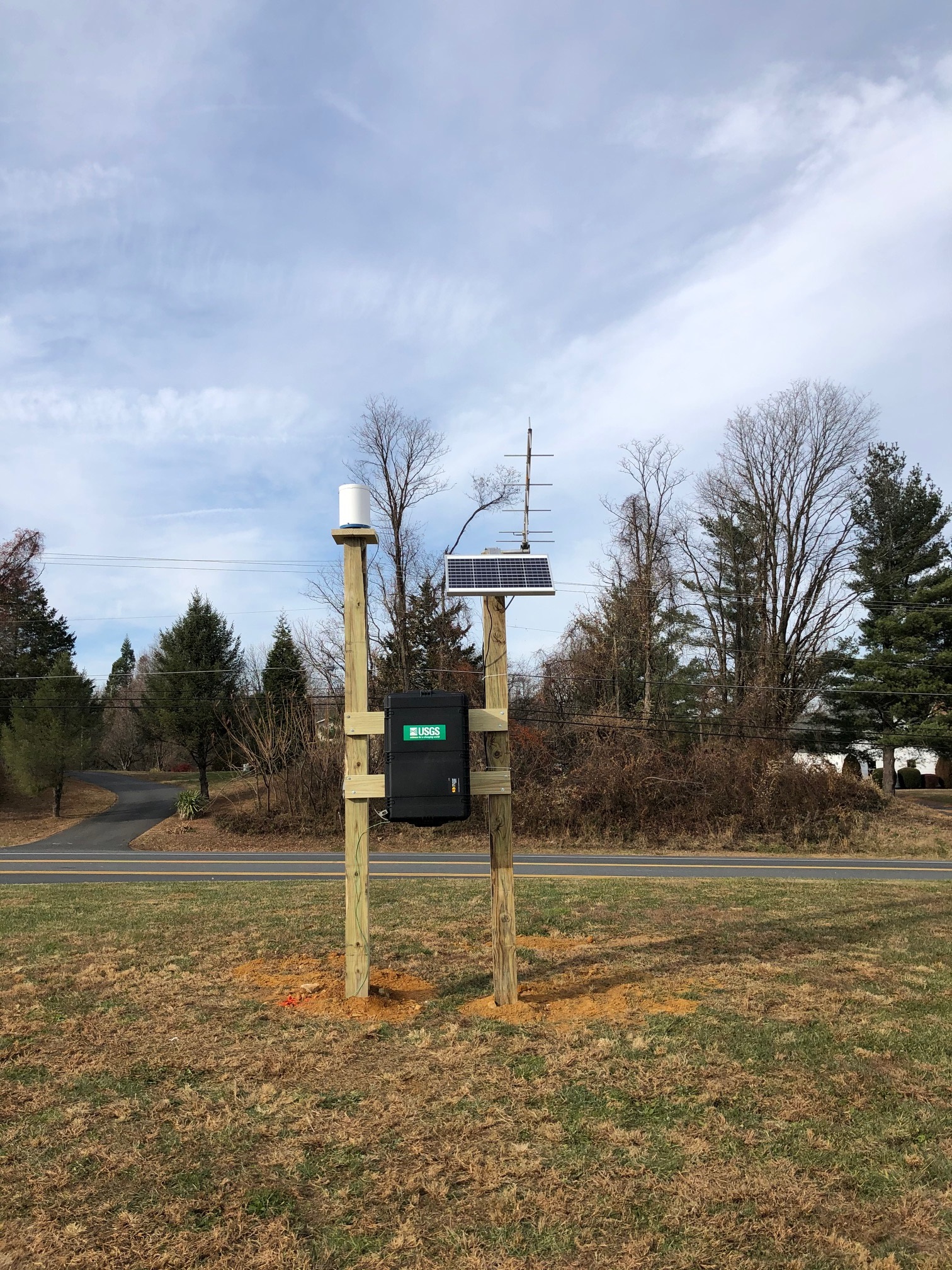
GAGE.--Tipping-bucket rain gage. Elevation of gage is 373 ft above North American Verical Datum of 1988 from digital elevation model.
REMARKS.--U.S. Geological Survey water-data telemeter at station.
EXTREMES FOR PERIOD OF RECORD.--Maximum daily precipitation, 4.19 in., August 4, 2020.
COOPERATION.--Funding for the operation of this station is provided by the Harford County Department of Public Works, and the U.S.
Geological Survey.
Summary of all available data for this site
Instantaneous-data availability statement
