Page Loading - Please Wait...
Streamflow Measurements for the Nation
| HTML table with channel data |
| HTML table without channel data |
| Tab-separated data with channel data |
| Tab-separated data without channel data |
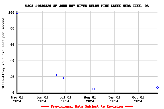
| Graph of data |
| Reselect output format |
![]() U.S. Department of the Interior |
U.S. Geological Survey
U.S. Department of the Interior |
U.S. Geological Survey
Title: Surface Water for USA: Streamflow Measurements
URL:
Page Contact Information: Oregon Water Data Support Team
Page Last Modified: 2025-06-28 16:59:12 EDT
0.66 0.5 nadww01