PROVISIONAL DATA SUBJECT TO REVISION
Click to hidestation-specific text
Funding for this site is provided by:
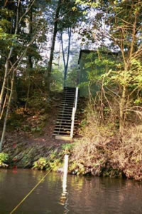 STATION.--01470960 TULPEHOCKEN CREEK AT BLUE MARSH
DAMSITE NEAR READING, PA
STATION.--01470960 TULPEHOCKEN CREEK AT BLUE MARSH
DAMSITE NEAR READING, PALOCATION.--Lat 40`22'14", long 76`01'32", Berks County, Hydrologic Unit 02040203, on right bank 1.0 mi upstream from Rebers Bridge and Plum Creek, 1.0 mi east of Blue Marsh, 3.0 mi north of Sinking Spring, and 5.5 mi northeast of Reading.
DRAINAGE AREA.--175 square miles.
PERIOD OF RECORD.--May 1965 to current year.
GAGE.--Water-stage recorder, crest-stage gage and water-quality monitor. Datum of gage is 229.2 ft above North American Vertical Datum of 1988 (GNSS Survey). Prior to Nov 25, 1974, water-stage recorder at site 0.3 mi downstream at same datum. Prior to February 19, 2025, datum of gage was reported as 230.06 ft above National Geodetic Vertical Datum of 1929. Satellite and landline telemetry at station.
COOPERATION.--Funding for the operation of this station is provided by the U.S. Army Corps of Engineers, Philadelphia District.
REMARKS.--Flow regulated since April 1979 by Blue Marsh Lake (station 01470870), 0.8 mi upstream.
GAGE HEIGHTS OF IMPORTANCE.-
Supplied by USGS: Data transmitter operational limit - 26.7 ft;
Supplied by NWS: No flood stage has been determined for this station.
Summary of all available data for this site
Instantaneous-data availability statement
