PROVISIONAL DATA SUBJECT TO REVISION
Click to hidestation-specific text
Funding for this site is provided by:
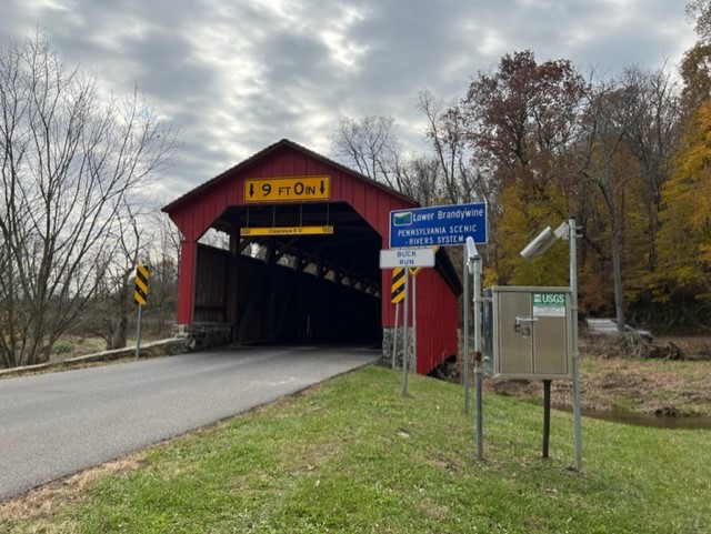 STATION.--01480629 BUCK RUN AT DOE RUN, PA
LOCATION.--Lat 39`55'46", long 75`49'24", Chester County, Hydrologic Unit 02040205, on left bank, 3,000 ft downstream of State Route 82, 50 ft upstream of bridge at Frog Hollow Road, 3.8 mi south of Coatesville.
DRAINAGE AREA.--22.6 square miles.
PERIOD OF RECORD.--January 2020 to current year.
GAGE.--Water-stage recorder, crest-stage gage, and water-quality monitor. Elevation of gage is 299.56 ft above North American Vertical Datum of 1988, from single-base GNSS rapid static survey. Satellite telemetry at station. Prior to March 17, 2022, the datum of gage was erroneously reported as 305.29 ft above National Geodetic Vertical Datum of 1929.
COOPERATION.--Sation established and maintained by the U.S. Geological Survey. Funding for the operation of this station is provided by the U.S. Geological Survey.
Summary of all available data for this site
Instantaneous-data availability statement
