PROVISIONAL DATA SUBJECT TO REVISION
Click to hidestation-specific text
Funding for this site is provided by:
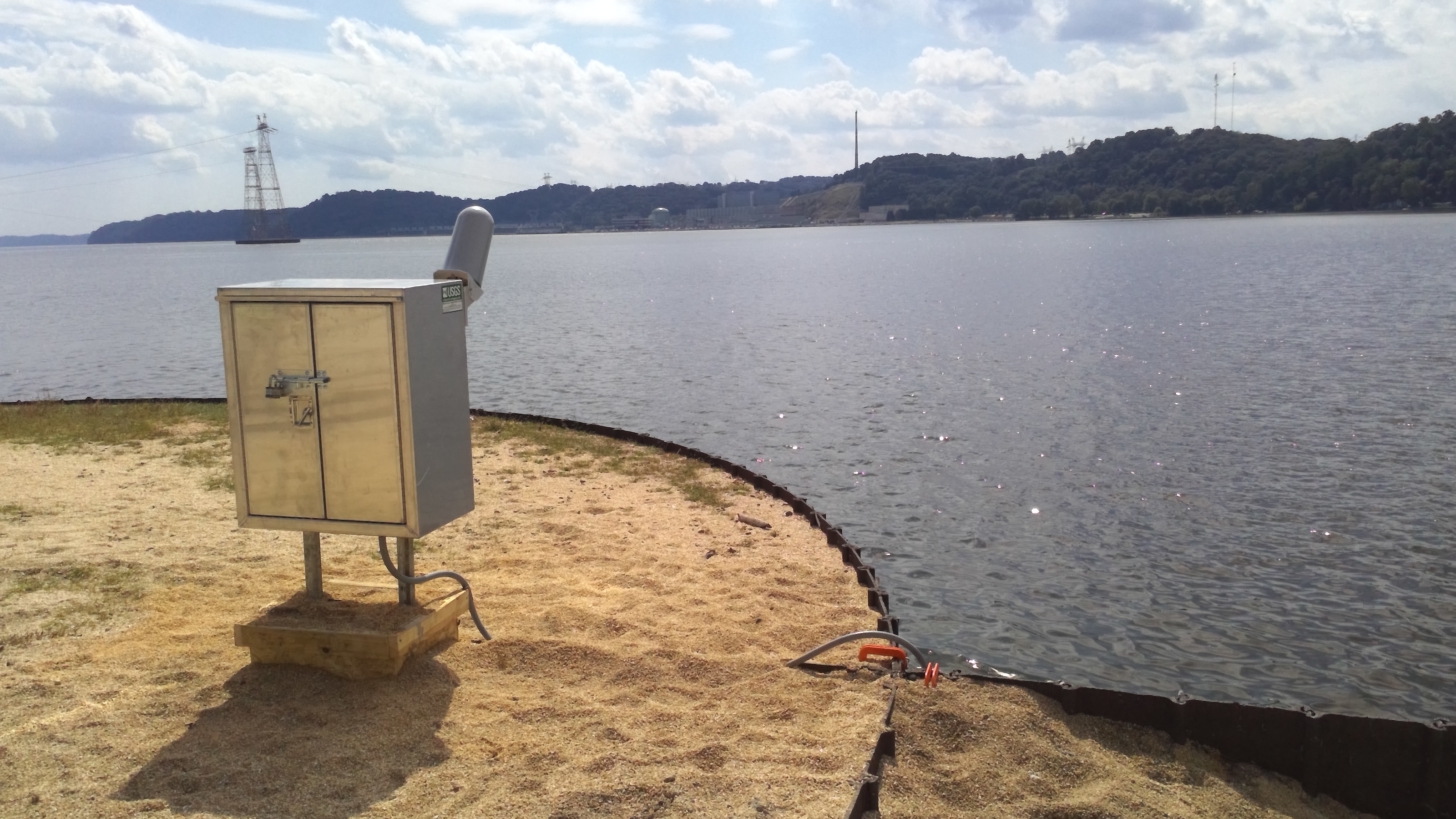 STATION.--01577505 Susquehanna River at Peach
Bottom, PA
STATION.--01577505 Susquehanna River at Peach
Bottom, PA LOCATION.--Lat 39`46'40.3", long 76`15'58.7", Lancaster County, Hydrologic Unit 02050306, mid-channel, about 2.5 miles upstream from Peach Bottom, PA
DRAINAGE AREA.--27,000 square miles.
PERIOD OF RECORD.--September 2022 to current year.
GAGE.--Water temperature sensor and data logger/ transmitter. Datum of gage is 106 ft above North American Vertical Datum of 1988.
COOPERATION.--Funding for the operation of this station is provided by Constellation Energy Generation, LLC.
Summary of all available data for this site
Instantaneous-data availability statement
