PROVISIONAL DATA SUBJECT TO REVISION
Click to hidestation-specific text
 LOCATION.--Lat
38°51'54.6", long 77°00'37.2", District of Columbia,
Hydrologic Unit 02070010, on right bank, 0.5 mi upstream from
mouth.
LOCATION.--Lat
38°51'54.6", long 77°00'37.2", District of Columbia,
Hydrologic Unit 02070010, on right bank, 0.5 mi upstream from
mouth.PERIOD OF RECORD.--March 2019 to current year.
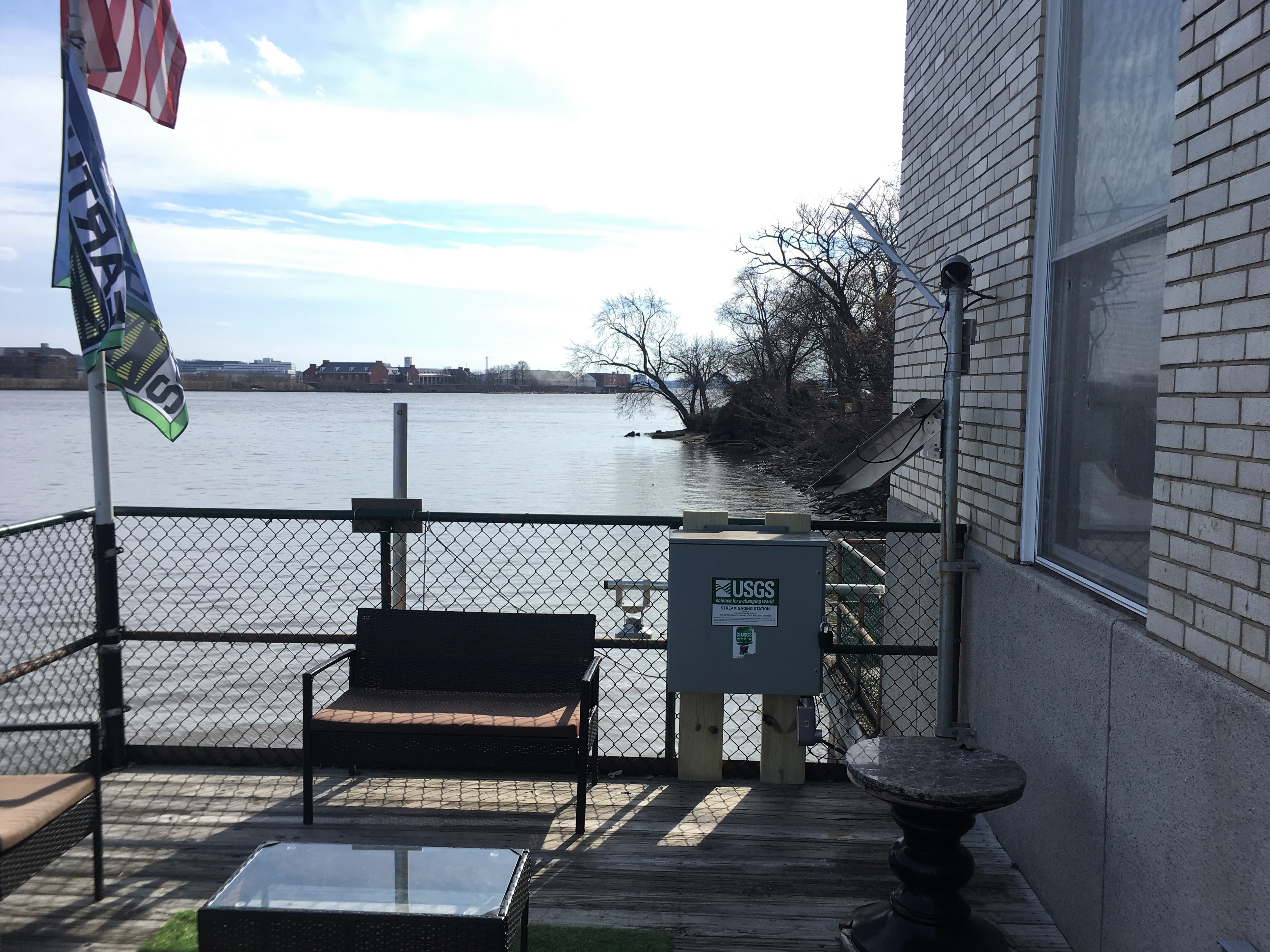
GAGE.--Water-stage recorder, velocity meter, and water-quality monitor. Datum of gage is 0.00 ft above North American Vertical Datum of 1988.
REMARKS.--This is a tidal station. U.S. Geological Survey satellite data-collection platform at station.
COOPERATION.--Funding for the operation of this station is provided by the Washington D.C. Department of Energy & Environment, the Federal
Urban Waters Partnership, and the U.S. Geological Survey.
| Boating safety tips |
Summary of all available data for this site
Instantaneous-data availability statement