PROVISIONAL DATA SUBJECT TO REVISION
Click to hidestation-specific text
 LOCATION.--Lat
38°06'18.9", long 75°38'10.9" referenced to North
American Datum of 1983, Somerset County, MD, Hydrologic Unit 02080111,
off of U.S. Rt. 13, 4.5 mi west of intersection of U.S. Rt. 13, and MD
Rt. 364, near Costen.
LOCATION.--Lat
38°06'18.9", long 75°38'10.9" referenced to North
American Datum of 1983, Somerset County, MD, Hydrologic Unit 02080111,
off of U.S. Rt. 13, 4.5 mi west of intersection of U.S. Rt. 13, and MD
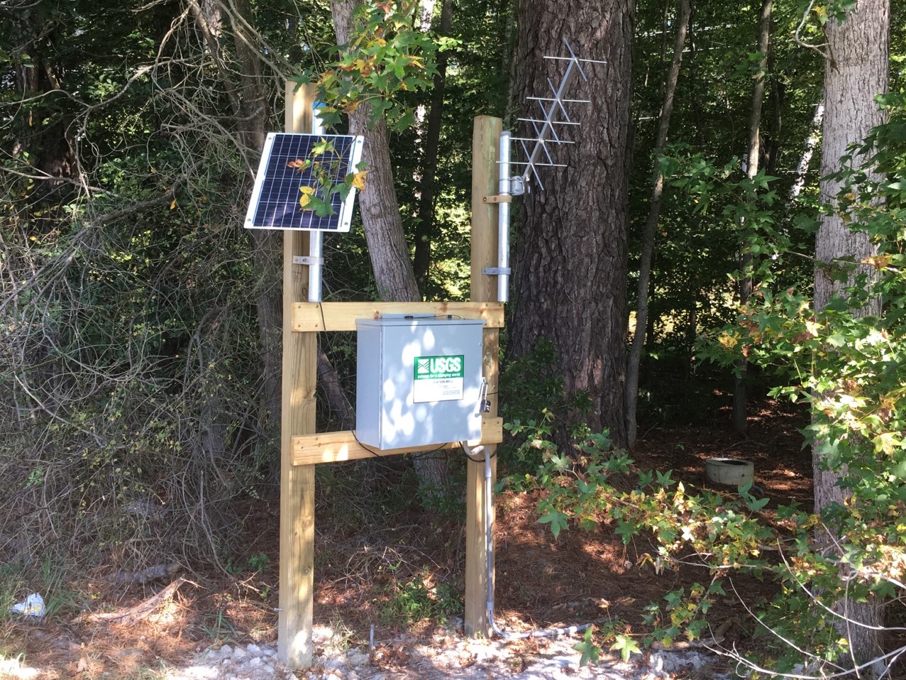
Rt. 364, near Costen.WELL CHARACTERISTICS.--Depth 15 ft. Upper casing diameter 1.25 in; top of first opening 12 ft, bottom of last opening 15 ft. Drilled, observation, watertable well.
DATUM.--Land-surface datum is 20 ft above National Geodetic Vertical Datum of 1929. Measuring point: Top of casing, 0.28 ft above land-surface datum, Sep. 16, 2009, to present.
PERIOD OF RECORD.--August 1949 to current year.
GAGE.--Water-level measurements by U.S. Geological Survey personnel. Equipped with digital water-level recorder October 2009 to October 2012, September 2017 to present.
REMARKS.--Maryland Groundwater-Level Monitoring Network and Climate Response Network observation well.
COOPERATION.--Funding for the operation of this station is provided by the U.S. Geological Survey.
This gage is monitored as part of the National Groundwater and Streamflow Information Program.
Summary of all available data for this site
Instantaneous-data availability statement
