PROVISIONAL DATA SUBJECT TO REVISION
Click to hidestation-specific text
Funding for this site is provided by:
 STATION.--404239076362001 NORTHUMBERLAND COUNTY,
local well number NU 567.
STATION.--404239076362001 NORTHUMBERLAND COUNTY,
local well number NU 567.LOCATION.--Lat 40`42'38.9", long 76`36'19.7", Hydrologic Unit 02050301, at 0.3 mi southwest of intersection T371 and T488, and 1.2 mi east of Leck Kill.
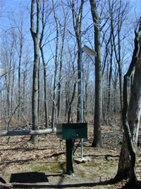
OWNER.--Privately owned.
WELL CHARACTERISTICS.--Drilled observation well, diameter 6 in, depth 155.87 ft, cased to 23.5 ft.
INSTRUMENTATION.--Data collection platform with 15-minute recording interval since April 2023; prior, 60-minute recording interval. Satellite telemetry at station.
DATUM.--Elevation of land surface is 946.5 ft above National Geodetic Vertical Datum of 1929, from survey. Measuring point: Top of metal shelf, 3.25 ft above land-surface datum.
PERIOD OF RECORD.--January 1995 to current year.
COOPERATION.--Funding for the operation of this station is provided by the Pennsylvania Department of Environmental Protection and the U.S. Geological Survey.
This gage is monitored as part of the National Groundwater and Streamflow Information Program.
Summary of all available data for this site
Instantaneous-data availability statement
