PROVISIONAL DATA SUBJECT TO REVISION
Click to hidestation-specific text
Funding for this site is provided by:
 Site Information
LOCATION.--Lat 41°21'49.4", long
73°44'55.5" referenced to North American Datum of
1983, Putnam County, NY, Hydrologic Unit 02030101, at
Carmel.
WELL CHARACTERISTICS.--Depth 655 ft. Upper casing diameter 6 in; top of first opening 115 ft, bottom of last opening 215 ft. Well filled in from original depth of 683 ft, cased to 39 ft, open hole.
DATUM.--Land-surface datum is 767.62 ft above North American Vertical Datum of 1988. Measuring point: Top of casing, 1.35 ft above land-surface datum, Aug. 3, 2004 to Oct. 25, 2021; Top of shelter shelf, 1.39 ft above land-surface datum, Sep. 13, 2012 to Aug. 28, 2017; Top of shelter shelf, 1.37 ft above land-surface datum, Aug. 28, 2017 to Oct. 25, 2021; Top of casing, 1.3 ft above land-surface datum, Oct. 25, 2021 to present; Top of shelter shelf, 1.35 ft above land-surface datum, Oct. 25, 2021 to present.
PERIOD OF RECORD.--October 2004 to current year. Prior to October 2011, published as number 412149073455501.
GAGE.--Water-stage recorder--15 minute; periodic manual measurements by USGS personnel.
REMARKS.--Satellite water-level telemeter at station.
EXTREMES FOR PERIOD OF RECORD.--Highest water level, 8.63 ft below land-surface datum, Mar. 7, 2011; lowest water level, 18.74 ft below land-surface datum, Sept. 5, 2022.
 WaterAlert – get an
email or text (SMS) alert based on your chosen threshold.
WaterAlert – get an
email or text (SMS) alert based on your chosen threshold.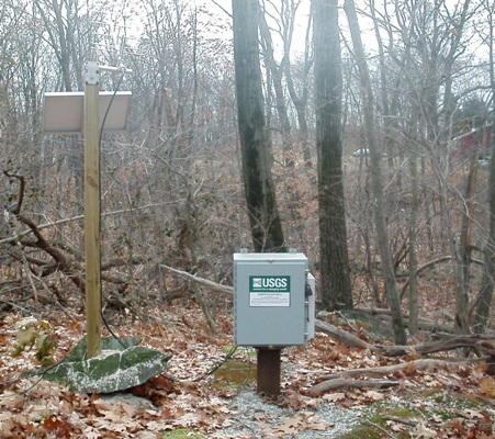 Station image
Summary of all available data for this site
Instantaneous-data availability statement
