USGS 413743089310101 19N8E-13.1a1 (LEE-92F CRN)

PROVISIONAL DATA SUBJECT TO REVISION

Click to hidestation-specific text
gage photo


This site is operated in cooperation with

USGS Groundwater and Streamflow Information Program GWSIP

and


University of Illinois at Urbana-Champaign

Cooperator logo Cooperator logo


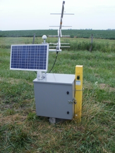
Groundwater is among the Nation's most precious natural resources.  Measurements of water levels in wells provide the most fundamental indicator of the status of this resource and are critical to meaningful evaluations of the quantity and quality of ground water and its interaction with surface water. Water-level measurements are made by many Federal, State, and local agencies.

click here to see historical groundwater levels, statistics, or other information about this well.
This station managed by the De Kalb Field Office.

Available Parameters Available Period
  
2011-04-09  2024-03-28


 (7)
 

  -- or --


Summary of all available data for this site
Instantaneous-data availability statement


Depth to water level, feet below land surface

Most recent instantaneous value: 2.20 03-28-2024   02:45 CST
Graph of  Depth to water level, feet below land surface

Add up to 2 more sites and replot for "Depth to water level, feet below land surface"

?


Create presentation-quality / stand-alone graph.   Subscribe to WaterAlert      

Field Visit data are no longer available on this page, please go to the new Monitoring Location pages to see the field visit data graphed with the time series data. See this graph on the Monitoring Location Pages