PROVISIONAL DATA SUBJECT TO REVISION
Click to hidestation-specific text
 Site Information
LOCATION.--Lat 42°41'14.9", long
73°49'53.0" referenced to North American Datum of
1983, Albany County, NY, Hydrologic Unit 02020006, SUNY, Fuller
Road, Albany.
WELL CHARACTERISTICS.--Depth 28.8 ft. Upper casing diameter 2 in; top of first opening 15 ft, bottom of last opening 25 ft. Well filled in from original depth of 30 ft, cased to 30 ft (screen, 15 ft to 25 ft).
DATUM.--Land-surface datum is 257.56 ft above North American Vertical Datum of 1988. Measuring point: Top of inner casing, 2.99 ft above land-surface datum, Aug. 6, 2014 to Jun. 6, 2019; Top of shelter shelf, 3.21 ft above land-surface datum, Aug. 6, 2014 to Jun. 7, 2019; Top of inner casing, 2.98 ft above land-surface datum, Jun. 6, 2019 to present; Top of shelter shelf, 3.2 ft above land-surface datum, Jun. 6, 2019 to present.
PERIOD OF RECORD.--August 2002 to current year.
GAGE.--Water-stage recorder--15 minute; periodic manual measurements by USGS personnel.
REMARKS.--Due to a measuring point correction, a +1.00 ft correction should be applied to all published record from August 2002 through September 2005. Well was drilled August 2002 as a replacement for 424114073495402 (local number A-636), located about 20 ft south, which had a period of record from May 1974 to August 1995, January 1997 to August 2002. A-636 was drilled May 1974 as a replacement for 424114073495401 (local number A-635), located 35 ft north, which had a period of record from November 1965 to May 1974. Satellite water-level telemeter at station.
EXTREMES FOR PERIOD OF RECORD.--Highest water level, 5.11 ft below land-surface datum, Apr. 19, 20, 2007; lowest water level, 13.13 ft below land-surface datum, Oct. 8, 9, 10, 11, 2002.
 WaterAlert – get an
email or text (SMS) alert based on your chosen threshold.
WaterAlert – get an
email or text (SMS) alert based on your chosen threshold.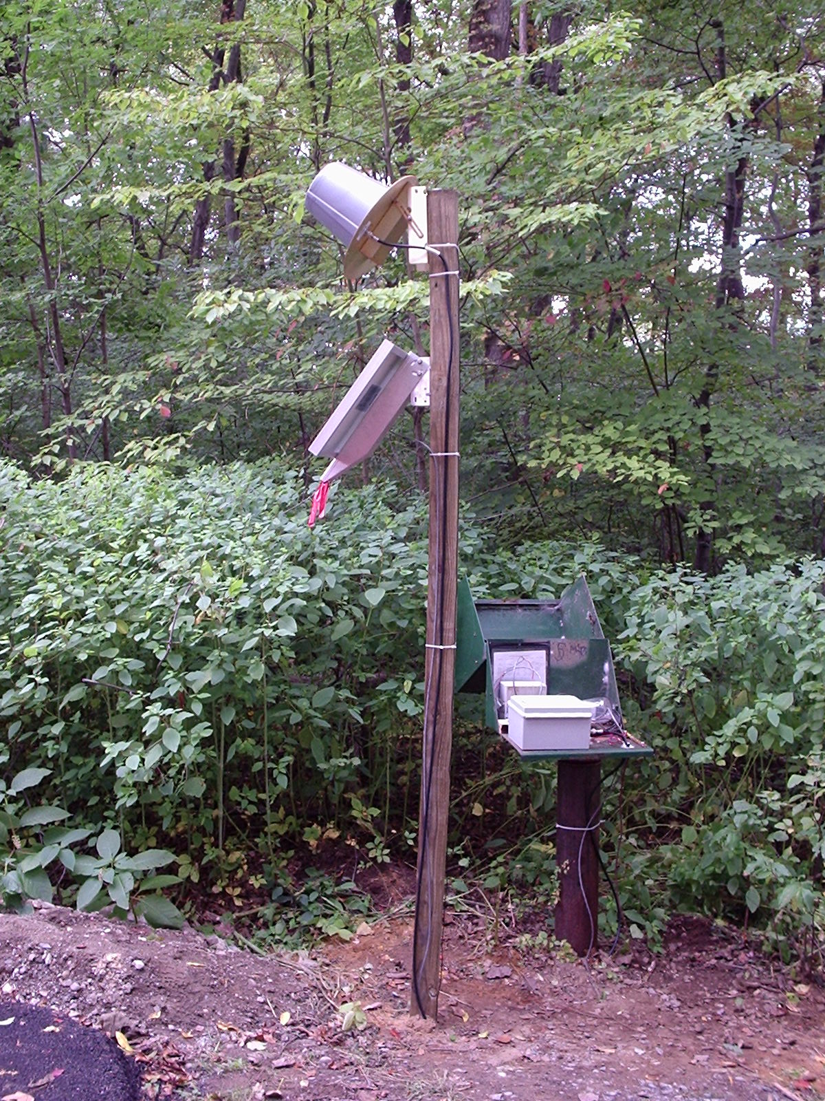 Station image
Summary of all available data for this site
Instantaneous-data availability statement
