PROVISIONAL DATA SUBJECT TO REVISION
Click to hidestation-specific text
Funding for this site is provided by:
 Site Information
LOCATION.--Lat 44°00'13.3", long
74°24'41.2" referenced to North American Datum of
1983, Hamilton County, NY, Hydrologic Unit 04150305, near Long
Lake.
WELL CHARACTERISTICS.--Depth 700 ft. Upper casing diameter 6 in; top of first opening 65 ft, bottom of last opening 700 ft.
DATUM.--Land-surface datum is 1,644.02 ft above North American Vertical Datum of 1988. Measuring point: Top of shelter shelf, 1.62 ft above land-surface datum, Jun. 9, 2020 to Sep. 8, 2022; Top of shelter shelf, 1.63 ft above land-surface datum, Sep. 8, 2022 to present.
PERIOD OF RECORD.--June 2020 to current year.
GAGE.--Water-stage recorder--15 minute; periodic manual measurements by USGS personnel.
REMARKS.--Satellite water-level telemeter at station.
EXTREMES FOR PERIOD OF RECORD.--Highest water level, 4.21 ft below land-surface datum, May 2, 3, 2023; lowest water level, 8.60 ft below land-surface datum, Mar. 22, 2021.
 WaterAlert – get an
email or text (SMS) alert based on your chosen threshold.
WaterAlert – get an
email or text (SMS) alert based on your chosen threshold.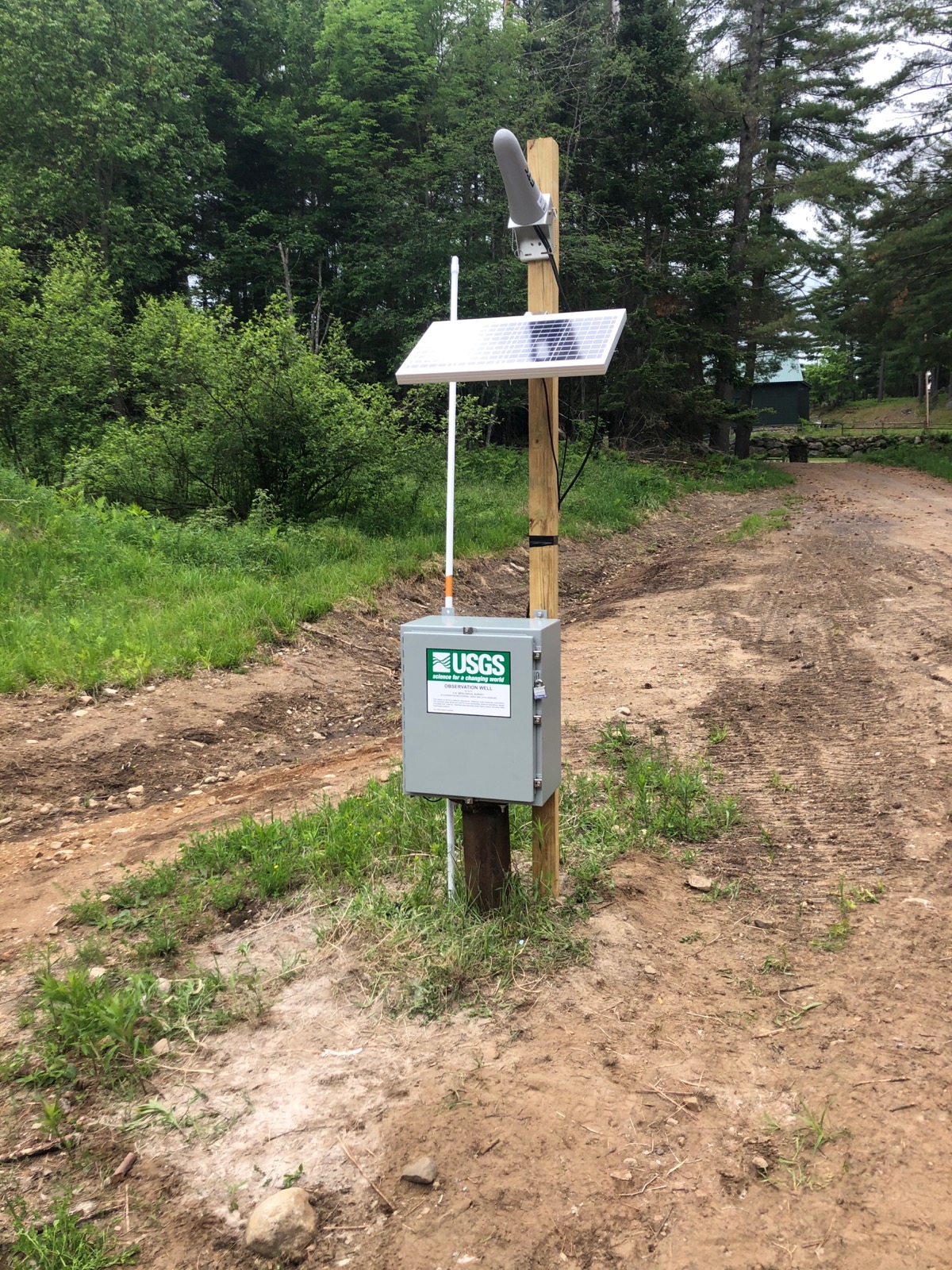 Station image
Summary of all available data for this site
Instantaneous-data availability statement
