PROVISIONAL DATA SUBJECT TO REVISION
Click to hidestation-specific text
|
This gage is monitored in cooperation with the US Army Corps of Engineers.
|
|
This gage is monitored in cooperation with the U.S. National Park Service and with the USGS Greater Everglades Priority Ecosystems Science .
|


|
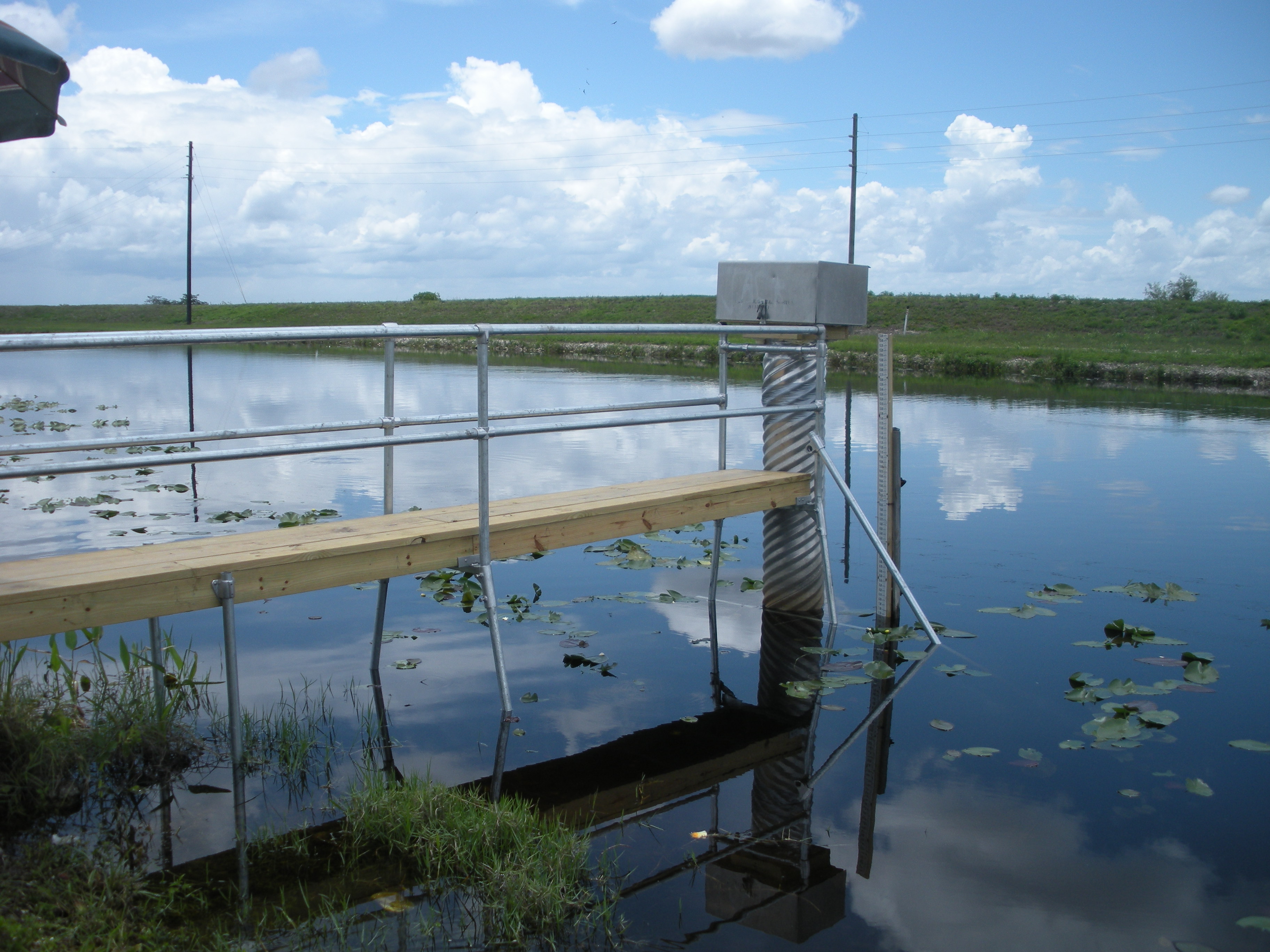
TAMIAMI CANAL OUTLETS L-30 TO L-67A NR MIAMI GAGE |
Instantaneous-data availability statement
![Graph of Discharge, cubic feet per second, [NGVD29]](https://nadww01.er.usgs.gov/nwisweb/data/img/USGS.02289060.31249.00060..20240427.20240504.log.0.p50.gif)