USGS 06752260 CACHE LA POUDRE RIVER AT FORT COLLINS, CO

PROVISIONAL DATA SUBJECT TO REVISION

Click to hidestation-specific text
USGS station 06752260

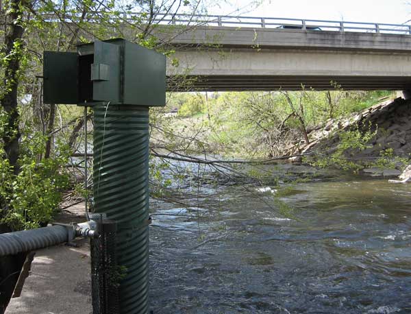
Station operated by the U.S. Geological Survey in cooperation with City of Fort Collins.

Current shift adjusted rating table.
What is a shift adjusted stage-discharge rating table?

Boating safety tips

This station managed by the Lakewood Field Office.

Available Parameters Available Period
  
1987-12-31  2025-06-10
2020-11-24  2025-06-10


 (7)
 

  -- or --


Summary of all available data for this site
Instantaneous-data availability statement


Discharge, cubic feet per second

Most recent instantaneous value: 369 06-10-2025   10:15 MDT
Graph of  Discharge, cubic feet per second

Add up to 2 more sites and replot for "Discharge, cubic feet per second"

?


Create presentation-quality / stand-alone graph.   Subscribe to WaterAlert      

See this graph on the Monitoring Location Pages


Daily discharge, cubic feet per second -- statistics for Jun 10 based on 50 water years of record more
Min
(2001)
Most Recent
Instantaneous
Value Jun 10
25th
percen-
tile
Median Mean 75th
percen-
tile
Max
(1983)
27.0 369 411 724 1070 1710 4450


Gage height, feet, [active]

Most recent instantaneous value: 2.45 06-10-2025   10:15 MDT
Graph of  Gage height, feet, [active]

Add up to 2 more sites and replot for "Gage height, feet, [active]"

?


Create presentation-quality / stand-alone graph.   Subscribe to WaterAlert      

See this graph on the Monitoring Location Pages