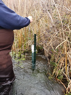
USGS 424120114491901 08S 14E 33BDD1 Banbury Springs South Vents nr Buhl
PROVISIONAL DATA SUBJECT TO REVISION
Available data for this site
SUMMARY OF ALL AVAILABLE DATA
Location map
Time-series: Current/Historical Observations
Water-Quality: Field/Lab samples
Revisions
Click to hide
station-specific text
Station is operated in cooperation with the
U.S. Fish and Wildlife Service
(USFWS) and
Idaho Power
.
Available Parameters
Available Period
All 3 Available Parameters for this site
00010 Temperature, water
2019-10-28
2023-07-18
00095 Specific cond at 25C
2019-10-28
2023-07-18
72147 Depth, sensor
2020-09-20
2023-07-18
Output format
Graph
Graph w/ stats
Graph w/o stats
Graph w/ (up to 3) parms
Table
Tab-separated
Days
(7)
-- or --
Begin date
End date
Summary of all available data for this site
Instantaneous-data availability statement
*** There are no data available on the Waterdata system for the time period specified,
although data may be available in the files of the local USGS office operating the station.