LOCATION.--Lat 40°49'42.4", long
73°41'44.5" referenced to North American Datum of
1983, Nassau County, NY, Hydrologic Unit 02030201, at north
side of Charles Street near dead end, along west side of foot
path to Madison Street, at Stannards Brook Park, Port
Washington.
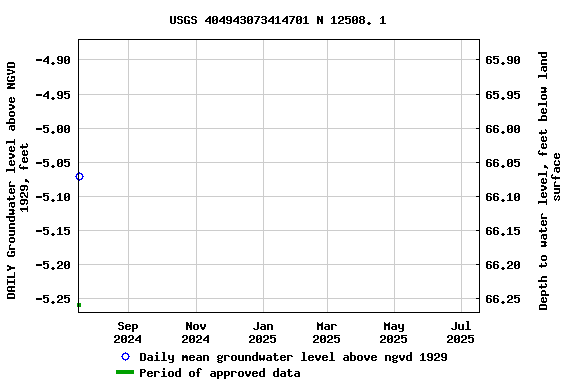
WELL CHARACTERISTICS.--Depth 400 ft. Upper casing
diameter 4 in; top of first opening 355 ft, bottom of last
opening 375 ft. Datum of gage is NGVD of 1929.
DATUM.--Land-surface datum is 61 ft above National
Geodetic Vertical Datum of 1929. Measuring point: Top of north
edge of 4 inch PVC casing, 60.07 ft above National Geodetic
Vertical Datum of 1929, Feb. 13, 1995 to Oct. 12, 2023; Top of
north edge of 4 inch PVC casing, 60.03 ft above National
Geodetic Vertical Datum of 1929, Oct. 12, 2023 to present.
PERIOD OF RECORD.--March 1995 to July 2024.
GAGE.--Water-level recorder installed June 2002;
15-minute recording interval. Periodic manual measurements made
by USGS personnel.
REMARKS.--Water level affected by tidal fluctuation and
nearby pumping.
EXTREMES FOR PERIOD OF RECORD.--Highest water level
recorded, 12.37 ft above NGVD of 1929, Apr. 1, 2013; lowest
recorded, 14.18 ft below NGVD of 1929, July 10, 2002.
 Site Information
 WaterAlert – get an
email or text (SMS) alert based on your chosen threshold.
WaterAlert – get an
email or text (SMS) alert based on your chosen threshold.