PROVISIONAL DATA SUBJECT TO REVISION
Click to hidestation-specific text
 Site Information
LOCATION.--Lat 42°48'15.1", long
73°50'51.6" referenced to North American Datum of
1983, Saratoga County, NY, Hydrologic Unit 02020004, on right
bank 180 ft upstream from Vischer Ferry Dam at Lock 7 on Erie
(Barge) Canal, 1.0 mi upstream from Stony Creek and Vischer
Ferry, 7.0 mi downstream from Schenectady, and 12 mi upstream
from mouth.
DRAINAGE AREA.--3,371 mi².
PERIOD OF RECORD.--June 1913 to September 1919 (published in 1914 as "at Barge Canal lock 7"), October 1919 to January 1926 and November 2014 to current year (gage heights only).
GAGE.--Water-stage recorder. Datum of gage is 199.46 ft above NAVD of 1988 and 200.00 ft above NGVD of 1929 (VERTCON). Prior to November 2014, at different sites and datums.
REMARKS.--Considerable regulation of stage by Lock 7 on the Erie (Barge) Canal and Vischer Ferry Dam hydroelectric facility.
Water Years 2015-24: Records fair.
EXTREMES FOR PERIOD OF RECORD.--Maximum discharge, about 140,000 ft³/s, March 28, 1914, caused by breakup of upstream ice jam, gage height, 7.6 ft, datum then in use; maximum gage height, 15.04 ft, Feb. 22, 2018 (ice jam); minimum gage height, 7.74 ft, Dec. 31, 2017 (result of freezeup).
PERIOD OF RECORD1.--
REMARKS1.--Twice daily water-temperature measurements were made at approximately 0800 and 1600 and furnished by New York State Department of Transportation.
EXTREMES FOR PERIOD OF RECORD1.--WATER TEMPERATURE: Maximum daily, 29.5°C, Aug. 5, 1955; minimum daily, 0.0°C on many days during winter periods.
1 Water-Quality Records
DRAINAGE AREA.--3,371 mi².
PERIOD OF RECORD.--June 1913 to September 1919 (published in 1914 as "at Barge Canal lock 7"), October 1919 to January 1926 and November 2014 to current year (gage heights only).
GAGE.--Water-stage recorder. Datum of gage is 199.46 ft above NAVD of 1988 and 200.00 ft above NGVD of 1929 (VERTCON). Prior to November 2014, at different sites and datums.
REMARKS.--Considerable regulation of stage by Lock 7 on the Erie (Barge) Canal and Vischer Ferry Dam hydroelectric facility.
Water Years 2015-24: Records fair.
EXTREMES FOR PERIOD OF RECORD.--Maximum discharge, about 140,000 ft³/s, March 28, 1914, caused by breakup of upstream ice jam, gage height, 7.6 ft, datum then in use; maximum gage height, 15.04 ft, Feb. 22, 2018 (ice jam); minimum gage height, 7.74 ft, Dec. 31, 2017 (result of freezeup).
PERIOD OF RECORD1.--
CHEMICAL DATA: 1952-53, 1972-75.
WATER TEMPERATURE: October 1951 to September 1975.
REMARKS1.--Twice daily water-temperature measurements were made at approximately 0800 and 1600 and furnished by New York State Department of Transportation.
EXTREMES FOR PERIOD OF RECORD1.--WATER TEMPERATURE: Maximum daily, 29.5°C, Aug. 5, 1955; minimum daily, 0.0°C on many days during winter periods.
1 Water-Quality Records
 WaterAlert – get an
email or text (SMS) alert based on your chosen threshold. Additional Site
Information
WaterAlert – get an
email or text (SMS) alert based on your chosen threshold. Additional Site
Information
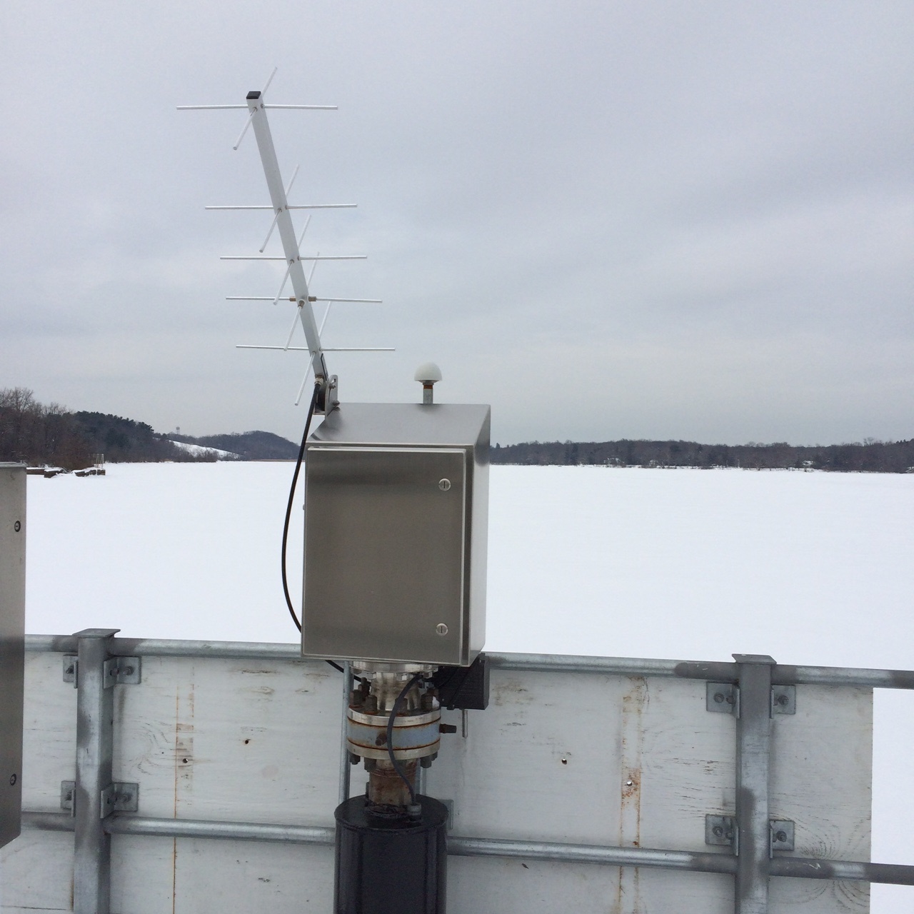 Station image
Summary of all available data for this site
Instantaneous-data availability statement
![Graph of Gage height, feet, [backup from radar]](https://nadww01.er.usgs.gov/nwisweb/data/img/USGS.01356000.284841.00065..20250709.20250716..0..gif)
![Graph of Gage height, feet, [primary from ntran]](https://nadww01.er.usgs.gov/nwisweb/data/img/USGS.01356000.106962.00065..20250709.20250716..0..gif)