PROVISIONAL DATA SUBJECT TO REVISION
Click to hidestation-specific text
Funding for this site is provided by:
 STATION.--01454700 LEHIGH RIVER AT GLENDON,
PA.
STATION.--01454700 LEHIGH RIVER AT GLENDON,
PA.LOCATION.--Lat 40`40'09", long 75`14'12", Northampton County, Hydrologic Unit 02040106, on right bank 140 ft upstream from highway bridge in Hugh Moore Parkway at Glendon, 2.3 mi upstream from mouth, and 2.0 mi southwest of Easton.
DRAINAGE AREA.--1,359 square miles.
PERIOD OF RECORD.--October 1966 to September 2005 and October 2018 to current year, (continuous-record gaging station), October 2005 to September 2018, (continuous-record annual-peak only).
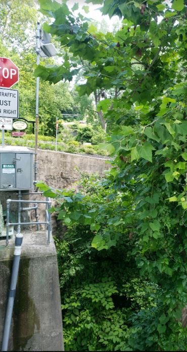
GAGE.--Water-stage recorder, crest-stage gage, and water-quality monitor. Datum of gage is 164.30 ft above sea level. Satellite telemetry at station.
COOPERATION.--Station established and maintained by the U.S. Geological Survey. Funding for the operation of this station is provided by the Pennsylvania Department of Environmental Protection and the U.S. Geological Survey. Funding for the operation of the continuous water-quality monitor is provided by the Delaware River Basin Commission and the U.S. Geological Survey.
REMARKS.--Flow regulated by Francis E. Walter Reservoir (station 01447780), Penn Forest Reservoir (station 01449400), Wild Creek Reservoir (station 01449700), and since February 1971, by Beltzville Lake (station 01449790) about 60 mi upstream. The Lehigh Canal, which resumed operation Apr 2016, does have a minor degree of influence and contribution to total computed discharge. Daily discharge not available Oct 2005 to Sept 2018.
GAGE HEIGHTS OF IMPORTANCE.-
Supplied by USGS: Data transmitter operational limit - 32.2 ft;
Supplied by NWS: Action stage-16 ft, low lying roads in Easton near the confluence with the Delaware are flooded; Flood stage-19 ft; Moderate flood stage-20 ft; Major flood stage-21 ft.
Summary of all available data for this site
Instantaneous-data availability statement