Warning: Javascript must be enabled to use all the features on this page!


Page Loading - Please Wait...

Click to hideNews Bulletins

Groundwater levels for the Nation

! Important: Next Generation Monitoring Location Page

Search Results -- 1 sites found

site_no list =
  • 410824074100501
Minimum number of levels = 1
Save file of selected sites to local disk for future upload

USGS 410824074100501 RO 541

Rockland County, New York
Hydrologic Unit Code 02030103
Latitude  41°08'24", Longitude  74°10'05" NAD27
Land-surface elevation 304 feet above NGVD29
The depth of the hole is 83.0 feet below land surface.
This well is completed in the Sand and gravel aquifers (glaciated regions) (N100GLCIAL) national aquifer.
This well is completed in the Sand Deposits (112SAND) local aquifer.
Output formats
Table of data
Tab-separated data
Graph of data
Reselect period
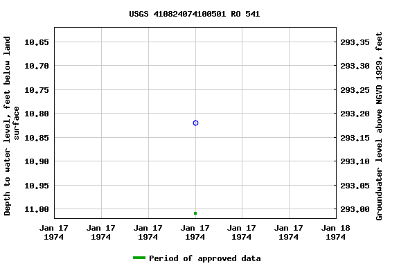
Graph of groundwater level data at USGS 410824074100501 RO 541
Breaks in the plot represent a gap of at least one year between field measurements.
Download a presentation-quality graph